 Paikkatietohakemisto
transportation
Type of resources
Available actions
Topics
Keywords
Contact for the resource
Provided by
Years
Formats
Representation types
Update frequencies
status
Scale
Resolution
-
This dataset represents the density of all IMO registered ships operating in the Baltic Sea. Density is defined as the number of ships crossing a 1 x 1km grid cell. It is based on HELCOM AIS (Automatic Identification System) data. The HELCOM AIS network hosts all the AIS signals received by the Baltic Sea States since 2005. The AIS Explorer allows to compare density maps of different ship types per month: http://maps.helcom.fi/website/AISexplorer/ The data was processed to produce density maps and traffic statistics. All scripts are available in GitHub: https://github.com/helcomsecretariat. The production of these maps have been carried out 2016-2017 through the HELCOM project on the assessment of maritime activities in the Baltic Sea. The underlying AIS data processing work has been co-financed by EU projects Baltic Scope (2015-2017 EASME/EMFF/2014/1.2.1.5) and Baltic Lines (2016-2019, Interreg Baltic Sea Region). In addition, the Ministry of the Environment of Finland supported the work with a special contribution in view of the use of the results in the HOLAS II process.
-
The data includes traffic volumes in Finland from 2012 to 2024. Data contains traffic volumes of all traffic and truck traffic.
-
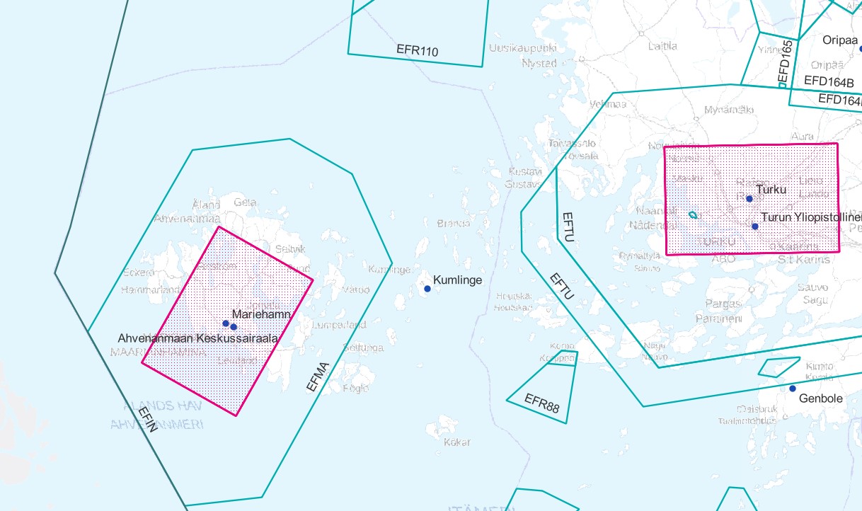
Air traffic network-product is a link-knot routing dataset compliant with INSPIRE requirements. It includes f.ex. flight routes and aerodromes. Data shall not be used for operational flight activities or flight planning. INSPIRE Air Traffic Network-product includes spatial information of air traffic network in accordance with the INSPIRE Directive. The data has been retrieved from the EAD database maintained by Eurocontrol. Information is updated regularly but is not constantly up to date. Data can be used for purposes that are in accordance with the INSPIRE Directive, but shall not be used for operational flight activities or flight planning. ANS Finland www.ais.fi –site provides information for operational flight activities or flight planning Available layers Aerodrome Node: Node located at the aerodrome reference point of an airport/heliport, which is used to represent it in a simplified way.DEFINITION Aerodrome Reference Point (ARP): The designated geographical location of an aerodrome, located near the initial or planned geometric centre of the aerodrome and normally remaining where originally established [AIXM3.3].DEFINITION Airport/heliport: A defined area on land or water (including any buildings, installations and equipment) intended to be used either wholly or in part for the arrival, departure and surface movement of aircraft/helicopters [AIXM5.0]. Air Route Link: A portion of a route to be flown usually without an intermediate stop, as defined by two consecutive significant points Air Space Area: A defined volume in the air, described as horizontal projection with vertical limits. Designated Point: A geographical location not marked by the site of a radio navigation aid, used in defining an ATS route, the flight path of an aircraft or for other navigation or ATS purposes. Instrument Approach Procedure: A series of predetermined manoeuvres by reference to flight instruments with specified protection from obstacles from the initial approach fix, or where applicable, from the beginning of a defined arrival route to a point from which a landing can be completed and thereafter, if a landing is not completed, to a position at which holding or en route obstacle clearance criteria apply. Navaid: One or more Navaid Equipments providing navigation services.DEFINITION Navaid equipment: A physical navaid equipment like VOR, DME, localizer, TACAN or etc. Procedure Link: A series of predetermined manoeuvres with specified protection from obstacles. Runway Area: A defined rectangular area on a land aerodrome/heliport prepared for the landing and take-off of aircraft. Runway Centerline Point: An operationally significant position on the center line of a runway direction. Standard Instrument Arrival: A designated instrument flight rule (IFR) arrival route linking a significant point, normally on an ATS route, with a point from which a published instrument approach procedure can be commenced. Standard Instrument Departure: A designated instrument flight rule (IFR) departure route linking the aerodrome or a specific runway of the aerodrome with a specified significant point, normally on a designated ATS route, at which the en-route phase of a flight commences. Surface Composition: Runway surface material CTR (Not INSPIRE): A control zone (CTR) is a block of Controlled Airspace extending from the surface of the earth to a specified upper limit.
-
FTIA INSPIRE Transport Networks Theme Dataset is a dataset depicting the Transport Networks covering the whole of Finland. It contains the following INSPIRE feature types: Road network, Rail network, Waterway network and Air transport network. The dataset is available via the FTIA INSPIRE Download Service (WFS) for Transport Networks and it can be viewed via the FTIA INSPIRE View Service (WMS) for Transport Networks.
-

Road traffic accidents involving personal injury known to the police in Finland and reported to Statistics Finland, which have co-ordinate data. The data cover the following information: vvonn = year of the accident kkonn = month of the accident kello = time of the accident vakav = seriousness of the accident: 1 = accident resulting in death, 2 = accident resulting in injury, 3 = accident resulting in serious injury onntyyppi = type of accident: 0 = same direction of travel (going straight), 1 = same direction of travel (turning), 2 = opposite direction of travel (going straight), 3 = opposite direction of travel (turning), 4 = intersecting direction of travel (going straight), 5 = intersecting direction of travel (turning), 6 = pedestrian accident (on pedestrian crossing), 7 = pedestrian accident (elsewhere), 8 = running off the road, 9 = other accident lkmhapa = number of passenger cars and vans in the accident lkmlaka = number of buses and lorries in the accident lkmjk = number of pedestrians in the accident lkmpp = number of bicycles and light electric vehicles in the accident lkmmo = number of mopeds in the accident lkmmp = number of motor cycles in the accident lkmmuukulk = number of other vehicles in the accident x = x co-ordinate of the accident y = y co-ordinate of the accident The general Terms of Use must be observed when using the data: https://stat.fi/en/about-us/get-to-know-statistics-finland/legislation/terms-of-use.
-
Ej för navigation. Muddringområden är områden varifrån bottenmaterial har tagits bort på ett farledsområde för att nå planerat djup. Innehåller muddringsområden bemärkta i Trafikledsverkets farledsregister.
-
Ej för navigation. Datan innehåller begränsningsområden för sjöfart. Begränsningarna för området är beskrivna i RAJOITUSTYYPIT-fältet. 01= Hastighetsbegränsning 02= Förbjudet att orsaka vågor 03= Förbud mot vindsurfning 04= Förbud mot vattenskoteråkning 05= Förbud mot framförande av fardon med hjälp av motor 06= Förbud mot ankring 07= Angöringsförbud 08= Förbud mot förtöjning 09= Omkörningsförbud 10= Mötesförbud 11= Rekommenderas hastighet
-
Ej för navigation. En farled är en enhetlig i terrängen eller på kartan bemärkt enhetlig färdplan på ett vattenområde. En farleds geometri består av navigationsområden och farledsområden. Sjöfartens säkerhetsanordningar, sjömärken, begränsningsområden och muddringsområden länkas ofta ihop till en eller flera farleder. Innehåller farleder registrerade i Trafikledsverkets vattenregister.
-
Ej för navigation. Sjöfartens säkerhetsanordning är en konstruktion eller anordning placeras på vattenområdet eller på stranden och som bemärker en farled eller på annat sätt leder och säkerställer båttrafik. Till säkerhetsanordningar räknas de som används för navigering och markering av farled samt sjömärken och ljus-signaler. Innehåller sjöfartens säkerhetsanordningar registrerade i farledsregistret. Datan innehåller både flytande samt bestående säkerhetsanordningar.
-
Ej för navigation. Sektorfyrarna är belysta, flytande eller bestående säkerhetsanordningar. Innehåller sektorfyrar som är registrerade i Trafikledsverkets farledsregister.