10000
Type of resources
Available actions
Topics
Keywords
Contact for the resource
Provided by
Years
Formats
Representation types
Update frequencies
status
Scale
Resolution
-
The EMODnet (European Marine Observation and Data network) Geology project collects and harmonizes marine geological data from the European sea areas to support decision making and sustainable marine spatial planning. The partnership includes 39 marine organizations from 30 countries. The partners, mainly from the marine departments of the geological surveys of Europe (through the Association of European Geological Surveys-EuroGeoSurveys), have assembled marine geological information at various scales from all European sea areas (e.g. the White Sea, Baltic Sea, Barents Sea, the Iberian Coast, and the Mediterranean Sea within EU waters). This dataset includes EMODnet seabed substrate maps at a scale of 1:10 000 from the European marine areas. Traditionally, European countries have conducted their marine geological surveys according to their own national standards and classified substrates on the grounds of their national classification schemes. These national classifications are harmonised into a shared EMODnet schema using Folk's sediment triangle with a hierarchy of 16, 7 and 5 substrate classes. The data describes the seabed substrate from the uppermost 30 cm of the sediment column. Further information about the EMODnet Geology project is available on the portal (http://www.emodnet-geology.eu/).
-

Production and Industrial Facilities contain the data set on establishments based on Statistics Finland's Business Register as follows: Data: location coordinates of the establishment, industry according to the Standard Industrial Classification TOL 2008 at the 2-digit level Industries according to D2.8.III.8 INSPIRE in TOL 2008 industries: B Mining and quarrying C Manufacturing D Electricity, gas steam and air conditioning supply E Water supply, sewerage, waste management and remediation activities F Construction H Transport and storage (excl. 53 Postal and courier activities) Coverage of the data set: establishments with over ten employees Statistical reference year: 2019 The data set is also suitable for viewing the location of industrial establishments. The coverage of the spatial data is about 90 % of the statistical data. The general Terms of Use must be observed when using the data: http://tilastokeskus.fi/org/lainsaadanto/copyright_en.html. In addition to the national version, an INSPIRE information product is also available from the data.
-
NLS-FI INSPIRE Hydrography Theme Dataset is a dataset depicting the Hydrography Physical Waters covering the whole of Finland. It contains the following INSPIRE feature types: Dam Or Weir, Land-water Boundary, Rapids, Shoreline Construction, Standing Water, Watercourse. The elements are updated approximately every 5–10 years. The dataset is based on the NLS Topographic database: https://www.paikkatietohakemisto.fi/geonetwork/srv/eng/catalog.search#/metadata/cfe54093-aa87-46e2-bfa2-a20def7b036f The dataset is available via the NLS-FI INSPIRE Download Service (WFS) for Hydrography Theme and it can be viewed via NLS-FI INSPIRE View Service (WMS) for Hydrography. http://paikkatiedot.fi/so/4dae5686-2a8c-40d8-837f-ce6f5547dba2
-

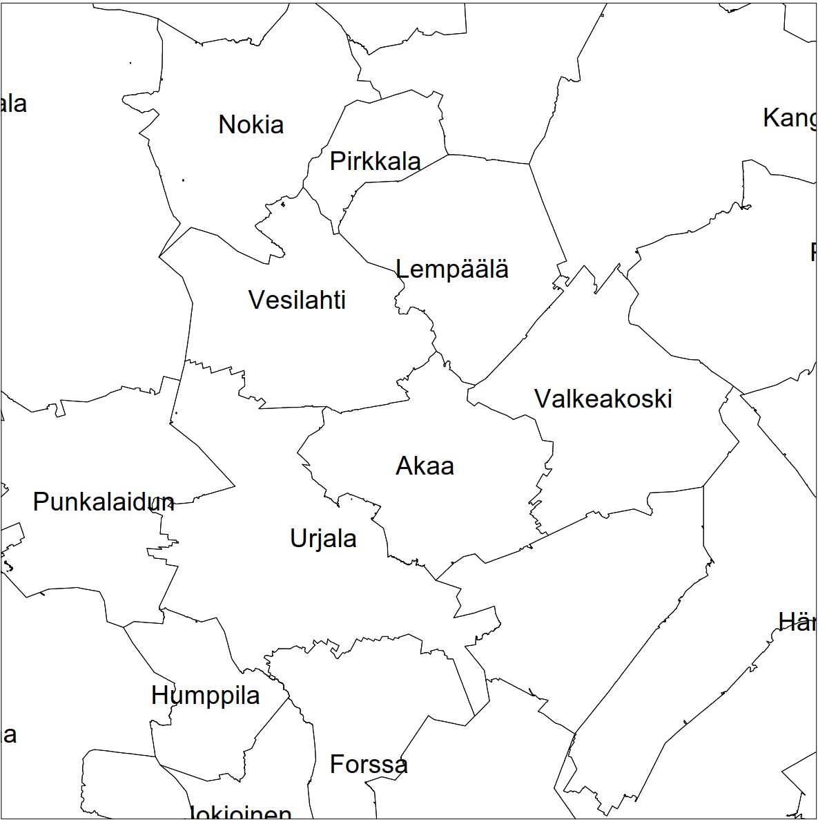
Division into administrative areas (raster) is a dataset depicting the municipal Division of Finland. The dataset Municipal Division is produced in scales 1:10,000, 1:100,000, 1:250,000, 1:1,000,000 and 1:4,500,000. The data included in the dataset in scale 1:10,000 are taken from the Cadastre. Regarding other scales, municipal boundaries have been generalised to suit the scale in question. Division into administrative areas products in raster format include municipal boundaries only. The product is a part of the open data of the National Land Survey.
-
NLS-FI INSPIRE Administrative Units Theme Dataset is a dataset depicting Administrative Units covering the land area and Maritime Units covering the sea area of Finland. Administrative Units contain the following INSPIRE feature types: AdministrativeUnit, AdministrativeBoundary. Maritime Units contain the following INSPIRE feature types: Baseline, MaritimeZone, MaritimeBoundary. Administrative Units are updated once a year from the NLS Cadastral Index Map database. Maritime Units are quite stable and have no regular update cycle. The dataset is available via the NLS-FI INSPIRE Download Service (WFS) for Administrative Units Theme and it can be viewed via the NLS-FI INSPIRE View Service (WMS) for Administrative Units.
-
NLS-FI INSPIRE Cadastral Parcels Theme Dataset is a dataset depicting the Cadastral Parcels and Basic Property Units covering the whole of Finland. It contains the following INSPIRE feature types: BasicPropertyUnit, CadastralParcel, CadastralBoundary. The elements are updated weekly. The dataset is based on the NLS Cadastral Index Map database. The dataset is available via the NLS-FI INSPIRE Download Service (WFS) for Cadastral Parcels Theme and it can be viewed via the NLS-FI INSPIRE View Service (WMS) for Cadastral Parcels.
-

Location (x,y) and name of educational institutions. Statistical reference year 2024. Data includes a location and a name of every comprehensive and upper secondary level schools in Finland. The source of data is the yearly updated register of educational institutions (https://tilastokeskus.fi/tup/oppilaitosrekisteri/index_en.html) which is maintained by Statistics Finland. An educational institution is defined as an administrative unit as such not the school building or the operating place. Coordinates are mostly accurate based on the centroid of the building althought there exists some educational institutions with estimated coordinates. Estimations are based to the street address of the educational institutions. Validity (OLO): 0 = Valid 1 = Closed down during the statistical year 2 = Merged with another educational institution during the statistical year 3 = Educational institution removed from the educational institutions of the education system 6 = Educational institution had no activity during the statistical year 7 = Technical removal Type of educational institute (OLTYP): 11 = Comprehensive schools 12 = Comprehensive school level special education schools 15 = Upper secondary general schools 19 = Comprehensive and upper secondary level schools The general Terms of Use must be observed when using the data: http://tilastokeskus.fi/org/lainsaadanto/copyright_en.html. In addition to the national version, an INSPIRE information product is also available from the data.
-
NLS-FI INSPIRE Buildings Theme Dataset is a dataset depicting the Buildings covering the whole of Finland. It contains the following INSPIRE feature types: Building The elements are updated weekly. The dataset is based on the NLS Topographic database: http://www.paikkatietohakemisto.fi/geonetwork/srv/en/main.home?uuid=cfe54093-aa87-46e2-bfa2-a20def7b036f. Id-attribute indicates the topographic database id for features (mtk-id). The dataset is available via the NLS-FI INSPIRE Download Service (WFS) for Buildings Theme and it can be viewed via the NLS-FI INSPIRE View Service (WMS) for Buildings.
-

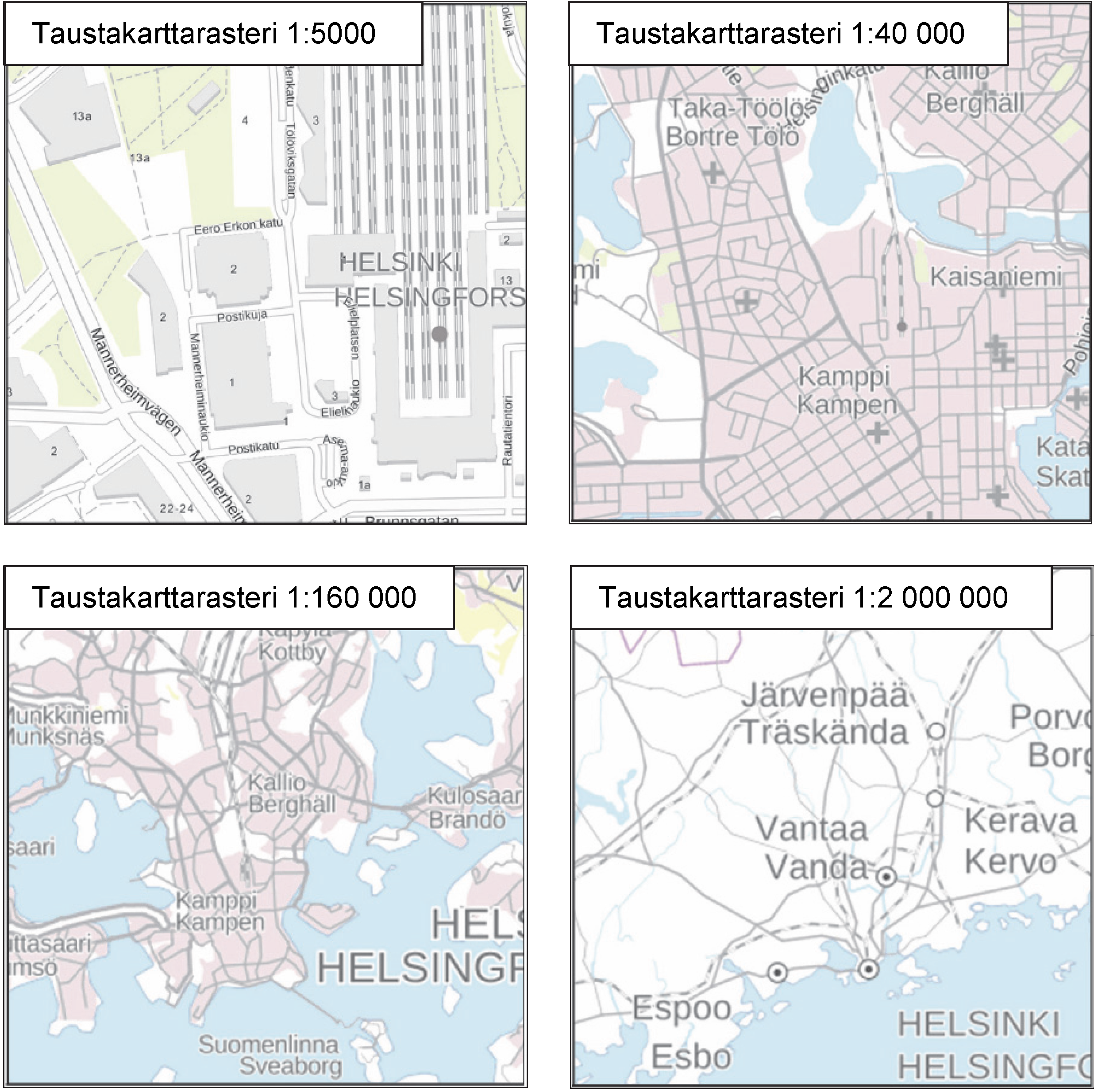
The Background map is a dataset product series in raster format that depicts the whole of Finland and that is meant for web use as a background material for thematic data. Its key objects are road names, roads and railways, buildings and constructions, administrative borders, geographical names, waterways, land use and addresses of buildings (from Ryhti/Finnish Environment Institute). The product belongs to the open data of the National Land Survey of Finland.
-
Field biomass sidestreams GIS data describes the maximum harvestable sidestream potential based on current tillage. Sidestreams has been calculated by crop statistics, cultivation area, solid content and harvest index. Harvest index describes the part of the plant that is utilized as a crop. Rest of the plant is considered sidestream. In many cases the maximum sidestream cannot be necessarily utilized as whole, because of technical and economical constraints for harvest. Part of the sidestream is also wise to plough in to field to maintain its fertility. Field crop data is conducted from Luke's crop production statistics. The crop statistics in ELY centre level is divided into the Biomass Atlas grid weighting by the crop area of that certain plant. Crop area is from IACS-register, used to manage subsidies in agriculture. Farmers report their cultivation plans there every spring. Crop area and amount are from same year, usually previous year.
 Paikkatietohakemisto