 Paikkatietohakemisto
society
Type of resources
Available actions
Topics
Keywords
Contact for the resource
Provided by
Years
Formats
Representation types
Update frequencies
status
Scale
Resolution
-

Grid net for statistics 5 km x 5 km covers whole of Finland. The grid net includes all grid cells in Finland. The location reference of a grid cell is the coordinates of the bottom left corner of each grid cell. An identifier in accordance with national conventions (consecutive numbering) has also been produced for each grid cell. The Grid net for statistics 5 km x 5 km is the area division used in the production of statistics by 5 km x 5 km grid cells. For utilizing grid data auxiliary table of regional classifications are available: https://stat.fi/en/services/statistical-data-services/geographic-data/statistical-areas/grid-net-for-statistics-5-km The general Terms of Use must be observed when using the data: https://stat.fi/en/about-us/get-to-know-statistics-finland/legislation/terms-of-use In addition to the national version, an INSPIRE information product is also available from the data.
-
NLS-FI INSPIRE Administrative Units Theme Dataset is a dataset depicting Administrative Units covering the land area and Maritime Units covering the sea area of Finland. Administrative Units contain the following INSPIRE feature types: AdministrativeUnit, AdministrativeBoundary. Maritime Units contain the following INSPIRE feature types: Baseline, MaritimeZone, MaritimeBoundary. Administrative Units are updated once a year from the NLS Cadastral Index Map database. Maritime Units are quite stable and have no regular update cycle. The dataset is available via the NLS-FI INSPIRE Download Service (WFS) for Administrative Units Theme and it can be viewed via the NLS-FI INSPIRE View Service (WMS) for Administrative Units.
-

Municipality-based statistical units are municipalities, sub-regional units, regions, major regions, economic development centres, wellbeing services counties and electoral districts. Maintenance of working areas was discontinued on 31 December 2023 and Regional State Administrative Agencies (AVI) and Centres for Economic Development, Transport and the Environment (ELY) on 31 December 2025. Municipality-based statistical units correspond to the regional divisions used in the statistics of the statistical reference year concerned. Annual versions and the latest regionally divided data (excluding the year attribute in the name of the data) are published from the data. Data used without the year attribute are updated automatically. The general Terms of Use must be observed when using the data: https://stat.fi/en/about-us/get-to-know-statistics-finland/legislation/terms-of-use In addition to the national version, an INSPIRE information product is also available from the data.
-
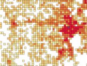
Number of population by 1 km x 1 km grids. The number of population on the last day of the reference year (31 December) by age group. Data includes only inhabited grids. The statistical variables of the data are: Total population (vaesto), number of men (miehet) and women (naiset), under 15 year olds (ika_0_14), 15-64 year olds (ika_15_64), and aged over 65 (ika_65_). Only the number of population is reported for grids of under 10 inhabitants. A grid identifier is expressed using a national identification code derived from the coordinates (idD_nro (num)) and INSPIRE's standard identification code (grd_id (char)). The data also contains the coordinates of the lower left-hand corner of a grid (xkoord, ykoord (num)). The data describes the population distribution independent of administrative areas (such as municipal borders). The data is suitable for examination of population distribution and making various spatial analysis. Data is available as polygons and as centroids of grid cells. The general Terms of Use must be observed when using the data: https://stat.fi/en/about-us/get-to-know-statistics-finland/legislation/terms-of-use. In addition to the national version, an INSPIRE information product is also available from the data.
-
Number of population by 5 km x 5 km grids. The number of population on the last day of the reference year (31 December) by age group. Data includes only inhabited grids. The statistical variables of the data are: Total population (vaesto), number of men (miehet) and women (naiset), under 15 year olds (ika_0_14), 15–64 year olds (ika_15_64), and aged over 65 (ika_65_). Only the number of population is reported for grids of under 10 inhabitants. A grid identifier is expressed using a national identification code derived from the coordinates (idD_nro (num)) and INSPIRE's standard identification code (grd_id (char)). The data also contains the coordinates of the lower left-hand corner of a grid (xkoord, ykoord (num)). The data describes the population distribution independent of administrative areas (such as municipal borders). The data is suitable for examination of population distribution and making various spatial analysis. The general Terms of Use must be observed when using the data: https://stat.fi/en/about-us/get-to-know-statistics-finland/legislation/terms-of-use. In addition to the national version, an INSPIRE information product is also available from the data.
-
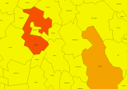
Number of population by statistical units. The number of population on the last day of the reference year (31.12.). Statistical areas are municipalities, sub-regional units, regions and major regions. The statistical variables in the data are: total population (vaesto), share of the total population (vaesto_p), number of men (miehet), men's share of the population in an area (miehet_p) and women (naiset), women's share (naiset_p), those aged under 15: number (ika_0_14), share (ika_0_14p), those aged 15 to 64: number (ika_15_64), share (ika_15_64p), and aged 65 or over: number (ika_65_), share (ika_65_p). The data is suitable for the examination of population distribution and making various regional analyses. The general Terms of Use must be observed when using the data: https://stat.fi/en/about-us/get-to-know-statistics-finland/legislation/terms-of-use. In addition to the national version, an INSPIRE information product is also available from the data.
-

Grid net for statistics 250 m x 250 m covers whole of Finland. The grid net includes all grid cells in Finland. The location reference of a grid cell is the coordinates of the bottom left corner of each grid cell. An identifier in accordance with national conventions (consecutive numbering) has also been produced for each grid cell. The Grid net for statistics 250 m x 250 m is the area division used in the production of statistics by 250 m x 250 m grid cells. For utilizing grid data auxiliary table of regional classifications are available: https://stat.fi/en/services/statistical-data-services/geographic-data/statistical-areas/grid-net-for-statistics-250-m The general Terms of Use must be observed when using the data: https://stat.fi/en/about-us/get-to-know-statistics-finland/legislation/terms-of-use The data download link can be found under the link below.
-
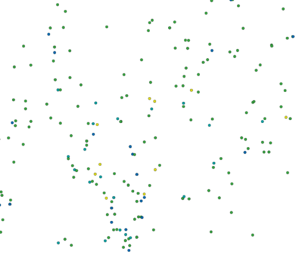
Location (x,y) and name of educational institutions. Statistical reference year 2025. Data includes a location and a name of every comprehensive and upper secondary level schools in Finland. The source of data is the yearly updated register of educational institutions (https://stat.fi/en/services/order-statistical-data/data-extractions-from-the-register-of-educational-institutions) which is maintained by Statistics Finland. An educational institution is defined as an administrative unit as such not the school building or the operating place. Coordinates are mostly accurate based on the centroid of the building althought there exists some educational institutions with estimated coordinates. Estimations are based to the street address of the educational institutions. Validity (OLO): 0 = Valid 1 = Closed down during the statistical year 2 = Merged with another educational institution during the statistical year 3 = Educational institution removed from the educational institutions of the education system 6 = Educational institution had no activity during the statistical year 7 = Technical removal Type of educational institute (OLTYP): 11 = Comprehensive schools 12 = Comprehensive school level special education schools 15 = Upper secondary general schools 19 = Comprehensive and upper secondary level schools The general Terms of Use must be observed when using the data: https://stat.fi/en/about-us/get-to-know-statistics-finland/legislation/terms-of-use. In addition to the national version, an INSPIRE information product is also available from the data.
-

Grid net for statistics 1 km x 1 km covers whole of Finland. The grid net includes all grid cells in Finland. The location reference of a grid cell is the coordinates of the bottom left corner of each grid cell. An identifier in accordance with national conventions (consecutive numbering) has also been produced for each grid cell. The Grid net for statistics 1 km x 1 km is the area division used in the production of statistics by 1 km x 1 km grid cells. For utilizing grid data auxiliary table of regional classifications are available: https://stat.fi/en/services/statistical-data-services/geographic-data/statistical-areas/grid-net-for-statistics-1-km The general Terms of Use must be observed when using the data: https://stat.fi/en/about-us/get-to-know-statistics-finland/legislation/terms-of-use In addition to the national version, an INSPIRE information product is also available from the data.
-
Kulturbyrån upprätthåller ett register med samtliga kända fornlämningar på Åland. De uppgifter som framgår är kommun, by, typ av fornlämning och datering. Fornlämningens läge motsvarar skalan 1:20 000. Det pågår hela tiden en uppdatering av registret, då tidigare okända fornlämningar upptäcks. Enligt lagen ska markägaren kontaktas när en fornlämning registreras. Om du själv upptäcker en fornlämning och är osäker på om den finns i fornlämningsregistret kontakta Kulturbyrån på Ålands Landskapsregering.