 Paikkatietohakemisto
PNG
Type of resources
Available actions
Topics
Keywords
Contact for the resource
Provided by
Years
Formats
Representation types
Update frequencies
status
Scale
-
The Plain map series is a simple, plain and readable dataset product series in raster format that depicts the whole of Finland. The product is meant to be used as a background map whose character changes to a guide map in large scales. Impaired vision has been taken into account when designing the product. The key objects presented on the map are roads and railways, road names, buildings and constructions, administrative borders, waterways and other geographical names. The road network, public buildings and texts have been especially emphasised. The most usual limitations of colour vision have been taken into account in the use of colours. The product belongs to the open data of the National Land Survey of Finland.
-
The themes of the Topographic database and Topographic map raster series (scale 1:10,000) have been compiled into seven theme entities, theme rasters, required by the Inspire directive: hydrography, elevation, traffic network, land use, land cover, place names and buildings. In addition to the above, the theme rasters also include the municipal division, road names and map sheet division as separate themes. The theme rasters have not been implemented according to the imaging technology defined in the Inspire directive. They will be produced later. The product belongs to the open data of the National Land Survey of Finland.
-

Division into administrative areas (raster) is a dataset depicting the municipal Division of Finland. The dataset Municipal Division is produced in scales 1:10,000, 1:100,000, 1:250,000, 1:1,000,000 and 1:4,500,000. The data included in the dataset in scale 1:10,000 are taken from the Cadastre. Regarding other scales, municipal boundaries have been generalised to suit the scale in question. Division into administrative areas products in raster format include municipal boundaries only. The product is a part of the open data of the National Land Survey.
-

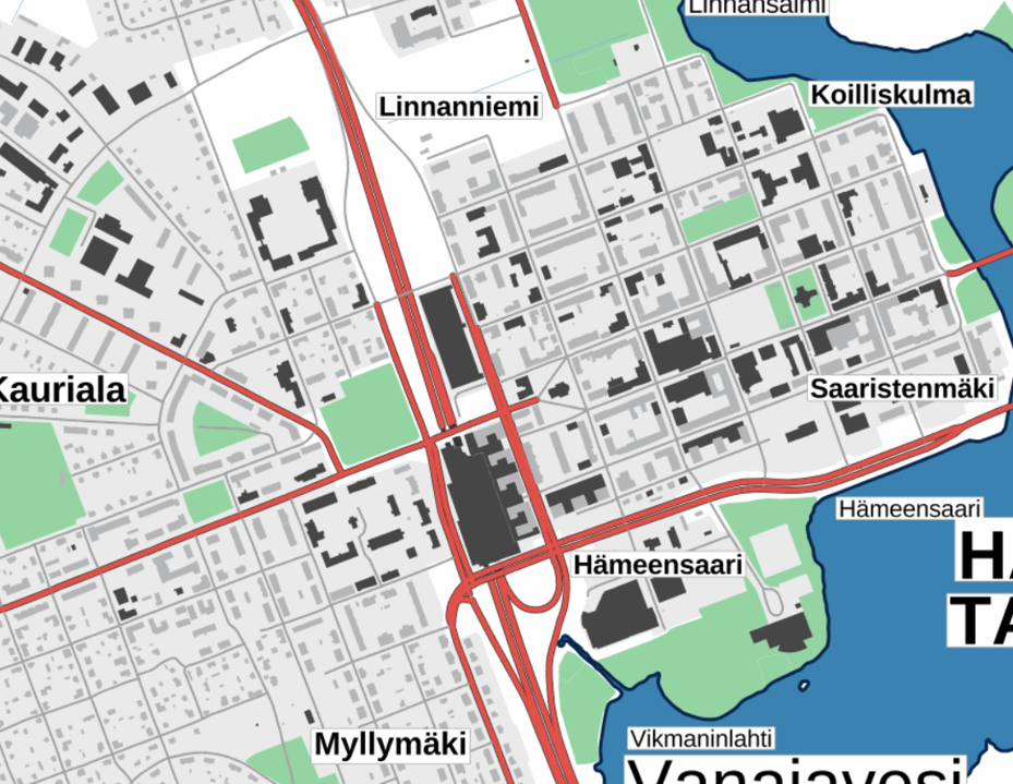
The Background map is a dataset product series in raster format that depicts the whole of Finland and that is meant for web use as a background material for thematic data. Its key objects are road names, roads and railways, buildings and constructions, administrative borders, geographical names, waterways, land use and addresses of buildings (from Ryhti/Finnish Environment Institute). The product belongs to the open data of the National Land Survey of Finland.
-
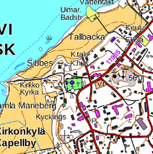
The Topographic map is a dataset depicting the terrain of all of Finland. The key elements in it are the road network, buildings and constructions, geographic names, waterways, land use and elevation. The more precise levels of the Topographic map consist of the same map objects and map symbols depicted in the same way as in the familiar Basic map. Basic map raster is applicable to be used, for instance, as a base map for planning land use or for excursion and outdoor recreational purposes in mobile devices and in various Internet services associated with nature. When going over to the more general datasets in the Topographic map, the number and visualisation of objects and map symbols changes. The generalised small-scale Topographic maps raster are applicable to be used as approach maps in e.g. mobile devices and Internet services. The product belongs to the open data of the National Land Survey of Finland.
-
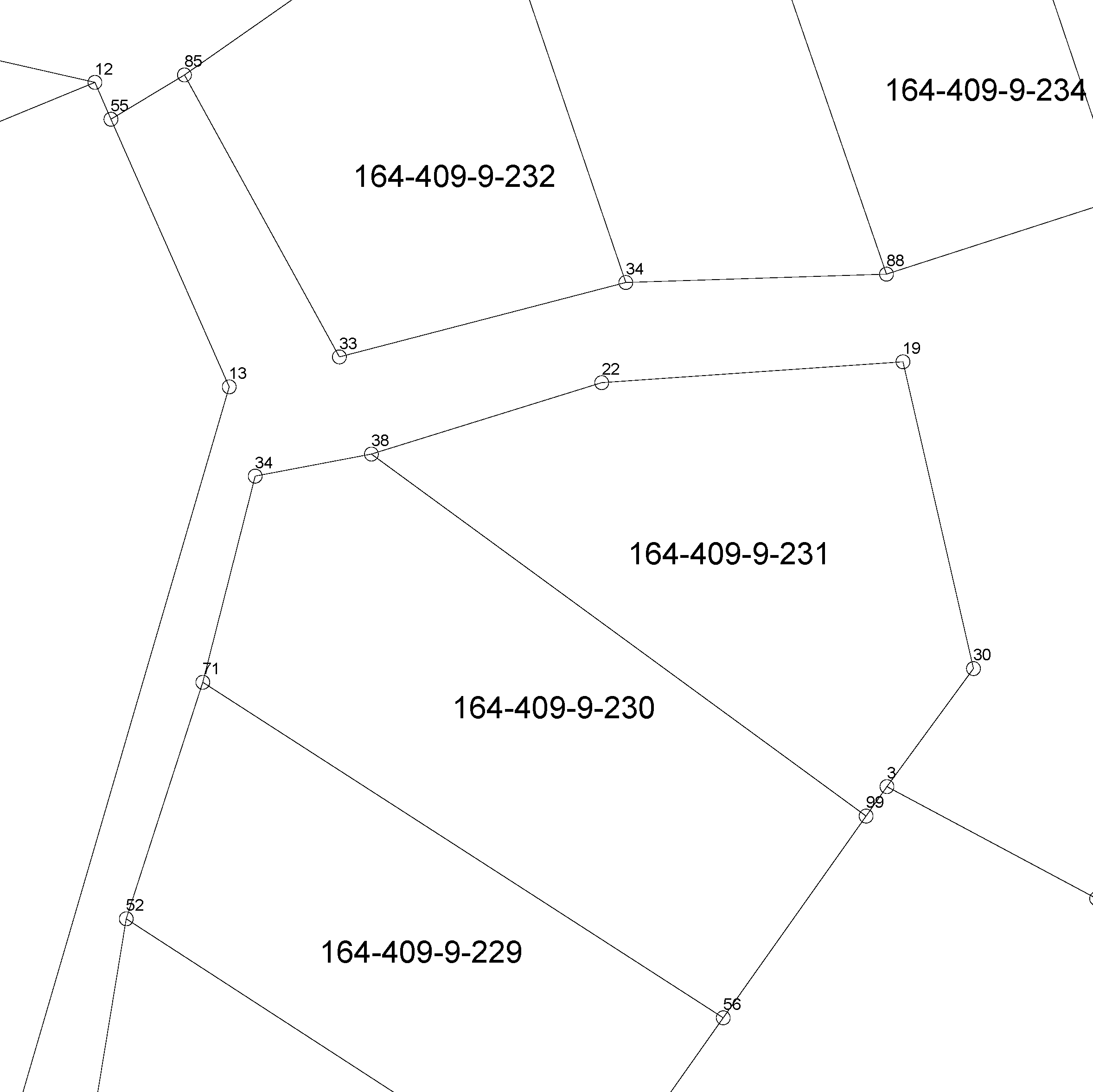
The location of the real property unit is shown on the cadastral index map. On the map, there are property and other register unit boundaries and property identifiers. The product is a part of the open data of the National Land Survey. Further information (in Finnish): http://www.maanmittauslaitos.fi/kiinteistot/asiantuntevalle-kayttajalle/kiinteistotiedot-ja-niiden-hankinta
-
Rovaniemen kaupungin ylläpitämä sijaintitarkka kaavan pohjakartta-aineisto, maastoa, rakennettua ympäristöä ja kiinteistöjaotusta kuvaavia tietoja. Aineisto tuotettu ilmakuvakartoituksella. Aineistoa ylläpidetään jatkuvasti.
-
Lappeenrannan ajantasa-asemakaava on yhdistelmä hyväksytyistä ja lainvoiman saaneista asemakaavoista. Aineistoa ylläpidetään jatkuvasti vektorimuodossa.
-
Opaskartta on yleistetty karttatuote, jonka ylläpitomittakaava on 1:25000. Aineisto käsittää koko kunnan alueen sisältäen peltoalueet, metsäalueet, vesialueet, asuinalueet, teollisuusalueet, yleiset alueet, tiestön, nimistön sekä hakuruuduston. Opaskarttaa ollaan luomassa uudelleen Trimble Locus sovellukseen Oracle tietokantaan. Työ on toistataiseksi kesken, ja kartta on ajankohdalta 2016. Tasokoordinaatistona on ETRS-GK24 (EPSG:3878)
-
Ortoilmakuva on lentokoneesta kohtisuoraan alaspäin otettu ilmakuva, josta on poistettu kameran kuvaprojektion ja maaston korkeusvaihteluiden aiheuttamat vääristymät. Resoluutio 20cm Ilmakuva kattaa seuraavan alueen: Espoo Kuvausvuodet: 2001,2005,2007,2009,2011,2013,2015,2017, 2019 Kuvaus yleensä 2v välein. Uusimman kuvauksen aineisto on saatavissa myös WMS-palveluna.