10000
Type of resources
Available actions
Topics
Keywords
Contact for the resource
Provided by
Years
Formats
Representation types
Update frequencies
status
Scale
Resolution
-
The EMODnet (European Marine Observation and Data network) Geology project collects and harmonizes marine geological data from the European sea areas to support decision making and sustainable marine spatial planning. The partnership includes 39 marine organizations from 30 countries. The partners, mainly from the marine departments of the geological surveys of Europe (through the Association of European Geological Surveys-EuroGeoSurveys), have assembled marine geological information at various scales from all European sea areas (e.g. the White Sea, Baltic Sea, Barents Sea, the Iberian Coast, and the Mediterranean Sea within EU waters). This dataset includes EMODnet seabed substrate maps at a scale of 1:10 000 from the European marine areas. Traditionally, European countries have conducted their marine geological surveys according to their own national standards and classified substrates on the grounds of their national classification schemes. These national classifications are harmonised into a shared EMODnet schema using Folk's sediment triangle with a hierarchy of 16, 7 and 5 substrate classes. The data describes the seabed substrate from the uppermost 30 cm of the sediment column. Further information about the EMODnet Geology project is available on the portal (http://www.emodnet-geology.eu/).
-
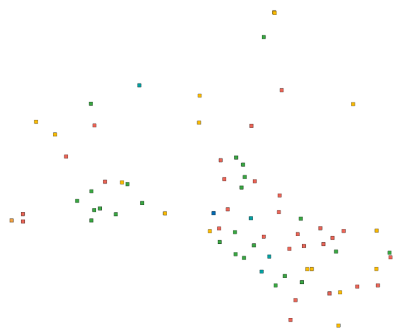
Production and Industrial Facilities contain the data set on establishments based on Statistics Finland's Business Register as follows: Data: location coordinates of the establishment, industry according to the Standard Industrial Classification TOL 2008 at the 2-digit level Industries according to D2.8.III.8 INSPIRE in TOL 2008 industries: B Mining and quarrying C Manufacturing D Electricity, gas steam and air conditioning supply E Water supply, sewerage, waste management and remediation activities F Construction H Transport and storage (excl. 53 Postal and courier activities) Coverage of the data set: establishments with over ten employees Statistical reference year: 2019 The data set is also suitable for viewing the location of industrial establishments. The coverage of the spatial data is about 90 % of the statistical data. The general Terms of Use must be observed when using the data: http://tilastokeskus.fi/org/lainsaadanto/copyright_en.html. In addition to the national version, an INSPIRE information product is also available from the data.
-
NLS-FI INSPIRE Buildings Theme Dataset is a dataset depicting the Buildings covering the whole of Finland. It contains the following INSPIRE feature types: Building The elements are updated weekly. The dataset is based on the NLS Topographic database: http://www.paikkatietohakemisto.fi/geonetwork/srv/en/main.home?uuid=cfe54093-aa87-46e2-bfa2-a20def7b036f. Id-attribute indicates the topographic database id for features (mtk-id). The dataset is available via the NLS-FI INSPIRE Download Service (WFS) for Buildings Theme and it can be viewed via the NLS-FI INSPIRE View Service (WMS) for Buildings.
-
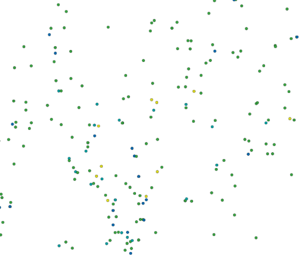
Location (x,y) and name of educational institutions. Statistical reference year 2024. Data includes a location and a name of every comprehensive and upper secondary level schools in Finland. The source of data is the yearly updated register of educational institutions (https://tilastokeskus.fi/tup/oppilaitosrekisteri/index_en.html) which is maintained by Statistics Finland. An educational institution is defined as an administrative unit as such not the school building or the operating place. Coordinates are mostly accurate based on the centroid of the building althought there exists some educational institutions with estimated coordinates. Estimations are based to the street address of the educational institutions. Validity (OLO): 0 = Valid 1 = Closed down during the statistical year 2 = Merged with another educational institution during the statistical year 3 = Educational institution removed from the educational institutions of the education system 6 = Educational institution had no activity during the statistical year 7 = Technical removal Type of educational institute (OLTYP): 11 = Comprehensive schools 12 = Comprehensive school level special education schools 15 = Upper secondary general schools 19 = Comprehensive and upper secondary level schools The general Terms of Use must be observed when using the data: http://tilastokeskus.fi/org/lainsaadanto/copyright_en.html. In addition to the national version, an INSPIRE information product is also available from the data.
-
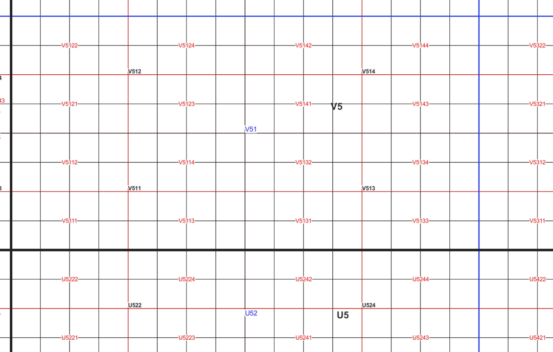
The map sheet division is a system created for printing maps, which covers map sheet codes, map scales and map sheet sizes. Today, map sheet division is also used for other purposes. It is also possible to download other NLS datasets in addition to maps in accordance with map sheet division. The map sheet division TM35, which is based on the projected coordinate reference system ETRS-TM35FIN is in use today. Before 2007, a map sheet division that was based on the KKS coordinate reference system was used. The TM35 map sheet division consists of 7 different grid sizes, the smallest scale is 1:200,000 and the largest is 1:5000. An explanation of how the grids are further split into more detailed grids and the principles of map sheet numbering is on the National Land Survey website (in Finnish) https://www.maanmittauslaitos.fi/kartat-ja-paikkatieto/kartat/osta-kartta/nain-loydat-oikean-karttalehden. The attribute data of the grids include map sheet number, the area of a square on the grid, perimeter and the coordinates of the centre of the square. The map sheet division is available as a file in vector format and through our contract-based WMTS service in raster format. In addition, you can view it in the geoportal Paikkatietoikkuna. The product is a part of the open data of the National Land Survey.
-
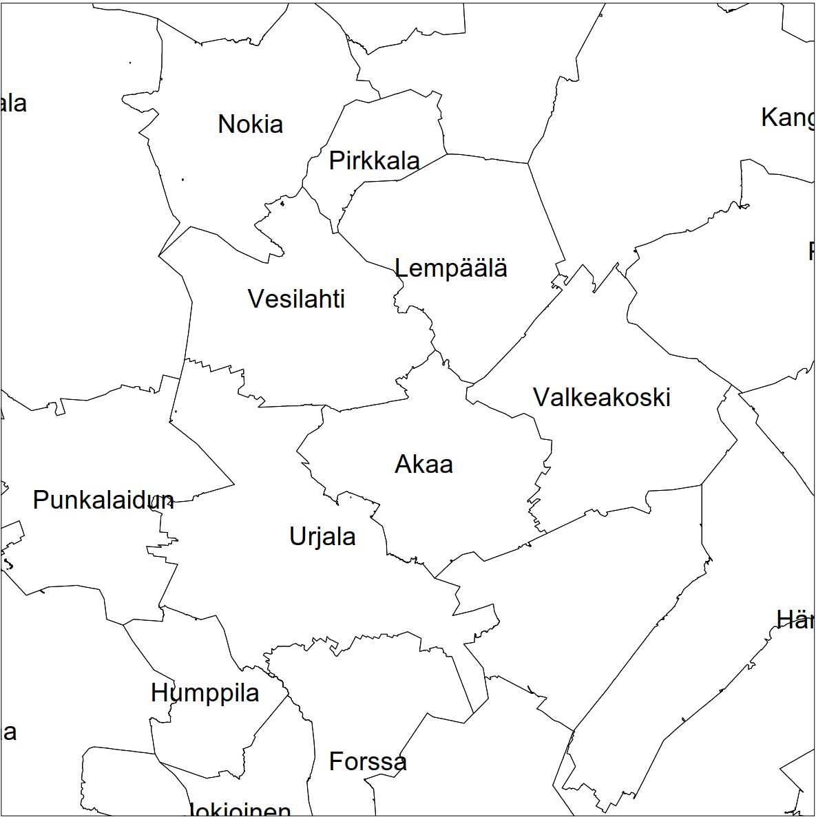
Division into administrative areas (raster) is a dataset depicting the municipal Division of Finland. The dataset Municipal Division is produced in scales 1:10,000, 1:100,000, 1:250,000, 1:1,000,000 and 1:4,500,000. The data included in the dataset in scale 1:10,000 are taken from the Cadastre. Regarding other scales, municipal boundaries have been generalised to suit the scale in question. Division into administrative areas products in raster format include municipal boundaries only. The product is a part of the open data of the National Land Survey.
-
Digiroad is a national dataset under the responsibility of the Finnish Transport Infrastructure Agency (FTIA), which contains the centerline geometries of the road network and traffic-related attributes. Digiroad is an aggregating information system that collects data from the Velho information system of the FTIA, the Topographic Database of the National Land Survey of Finland (NLS), the street information systems of municipalities, and the information systems of a few other authorities (e.g. Helsinki Region Transport HRT). The centerline geometry of Digiroad's road network is obtained from the NLS's Topographic Database. It covers all Finnish highways, streets and private roads, as well as the pedestrian/cycle routes and driving paths in the Topographic Database. In addition, the road network contains some supplementary data to the road line geometry that is not maintained by the NLS. This supplementary road link data is supplied by municipalities and the FTIA. These road links can be separated from the rest of the geometry with the help of administrative class information. Digiroad's attributes that serve the planning of mobility include, for example, functional class of the road, information about the direction of the traffic flow, road name and address information, restrictions on the use of the road and street network (e.g. closed connection, turning restriction, weight, height, length and width restrictions) and other attributes of the road network (e.g. speed limit, width, pavement information, level crossings). The Digiroad data can be downloaded from the FTIA's download and viewing service as a single package. An exception to this is the public transport stop data type, which can also be downloaded from Digiroad's website. More detailed information regarding the public transport stops can be found below in the "Associated resources" section. The data are updated in the interface every week and in the Väylävirasto's data service about 4 times a year. The data type description of the Digiroad material can be found here: https://vayla.fi/en/transport-network/data/digiroad/documents
-
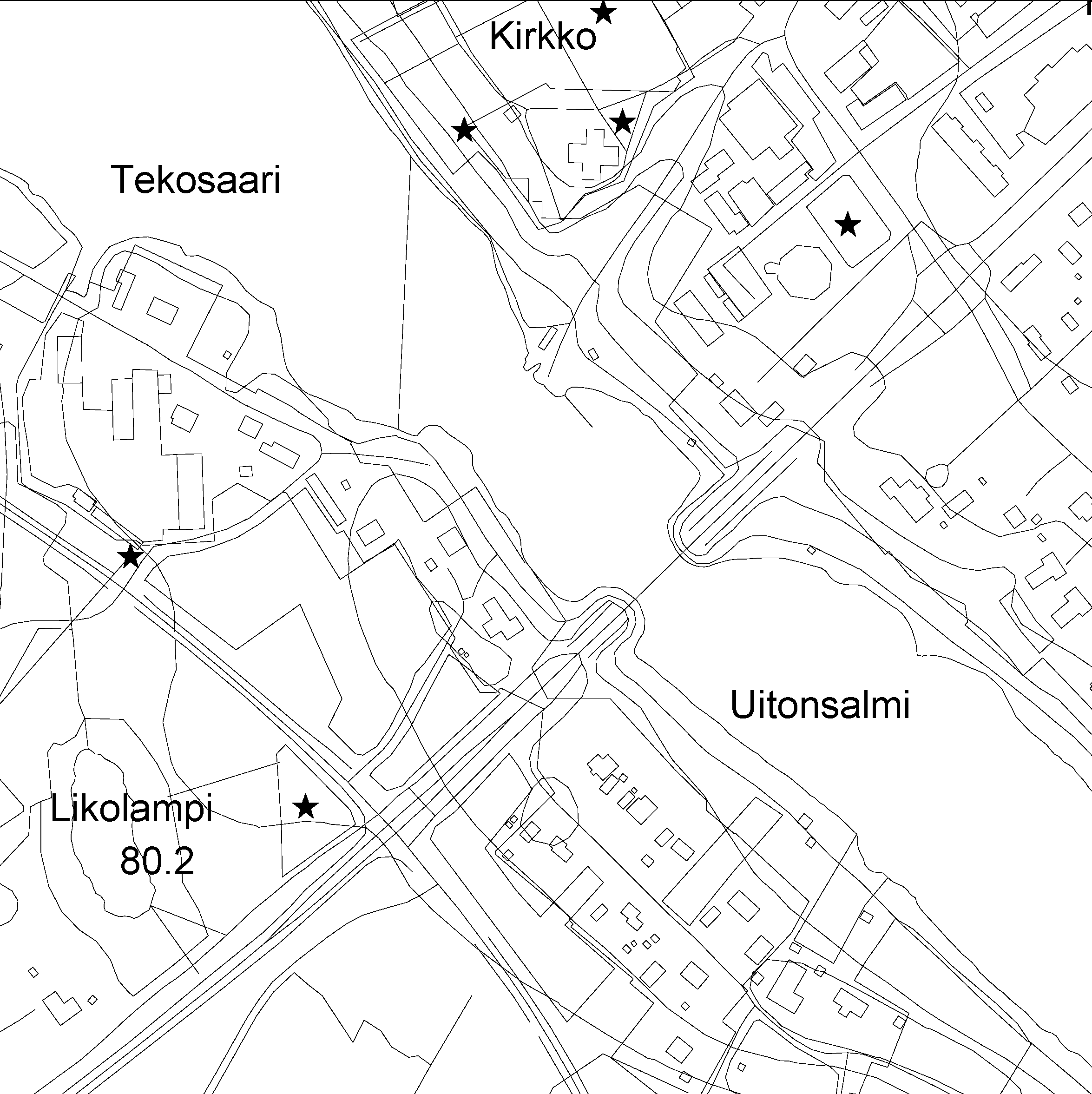
The Topographic database is a dataset depicting the terrain of all of Finland. The key objects in the Topographic database are the road network, buildings and constructions, administrative borders, geographic names, land use, waterways and elevation. Aerial photographs, scanning data and data provided by other data providers are utilised in updating the Topographic database. The updating is done in close cooperation with the municipalities. Field checks in the terrain are also needed to some extent, mostly as regards the classification of features. The topographic database is used in the production of other map products and in various optimisation tasks. The product belongs to the open data of the National Land Survey of Finland.
-
The EMODnet (European Marine Observation and Data network) Geology project collects and harmonizes marine geological data from the European sea areas to support decision making and sustainable marine spatial planning. The partnership includes 39 marine organizations from 30 countries. The partners, mainly from the marine departments of the geological surveys of Europe (through the Association of European Geological Surveys-EuroGeoSurveys), have assembled marine geological information at various scales from all European sea areas (e.g. the White Sea, Baltic Sea, Barents Sea, the Iberian Coast, and the Mediterranean Sea within EU waters). This multiscale dataset includes EMODnet seabed substrate maps at a scale of 1:1 500, 1:5 000, 1:10 000, 1:15 000, 1:20 000, 1:25 000, 1:30 000, 1:45 000, 1: 50 000, 1:60 000, 1:70 000 from the European marine areas. Traditionally, European countries have conducted their marine geological surveys according to their own national standards and classified substrates on the grounds of their national classification schemes. These national classifications are harmonised into a shared EMODnet schema using Folk's sediment triangle with a hierarchy of 16, 7 and 5 substrate classes. The data describes the seabed substrate from the uppermost 30 cm of the sediment column. Further information about the EMODnet Geology project is available on the portal (http://www.emodnet-geology.eu/).
-

Division into administrative areas (vector) is a dataset depicting the municipalities, regions, Economic development centres and the national border of Finland. The Division into administrative areas products in vector format contain the number codes of the municipalities, the names of the municipalities in both Finnish and Swedish as well as municipal boundaries and municipal geographical areas. In addition, the products include the corresponding information about the regions, the Economic development centres and the nation as well as a specification of the municipality's area into land and water area. The municipality's area is not included in the XML/GML and GeoPackage format. The dataset Municipal Division is produced in scales 1:10,000, 1:100,000, 1:250,000, 1:1,000,000 and 1:4,500,000. The data included in the dataset in scale 1:10,000 are taken from the Cadastre. Regarding other scales, municipal boundaries have been generalised to suit the scale in question. The product is a part of the open data of the National Land Survey.
 Paikkatietohakemisto