Production and industrial facilities
Type of resources
Available actions
Topics
Keywords
Contact for the resource
Provided by
Years
Formats
Representation types
Update frequencies
Service types
Scale
-
Statistics Finland's Web Service is a WMS interface service through which the following data required by INSPIRE and national legislation on geographic information are available: 1) Statistical units: Regional divisions (municipality, major region, region, sub-regional unit, Regional State Administrative Agency (AVI), Centre for Economic Development, Transport and the Environment (ELY), electoral district) and grid 1 km x 1 km. 2) Non-profit and public services: Educational institutions (comprehensive schools, upper secon-dary general schools) 3) Production and industrial facilities: Production and industrial facilities 4) Population distribution by the regional divisions used in statistics and by 1 km x 1 km grids. Other data published: - Open data by postal code area (Paavo) - Population distribution by 5 km x 5 km grids The data are administered by Statistics Finland. The service is free of charge and does not require authentication or identification with a user ID and password. The general Terms of Use must be observed when using the data: http://tilastokeskus.fi/org/lainsaadanto/copyright_en.html.
-
Maa-ainesluvat -aineisto perustuu maa-aineslupahakemuksiin ja -päätöksiin. Aineisto tallennetaan SQL Server tietokantaan kuntien ja ELY-keskusten toimesta. Aineisto on osin puutteellinen, sillä kaikkien lupa-alueiden sijainti ei ole ollut tiedossa. Aineisto sisältää tiedot muun muassa lupa-alueen sijainnista sekä luvan mahdollistamista ja toteutuneista ainesten ottomääristä. Tietokantaa päivitetään jatkuvasti. Tietokannan tauluista on tuotettu neljä pistemäistä paikkatietoaineistoa: Kaikki maa-aineslupapisteet, kalliokivilupapisteet, hiekka- ja soralupapisteet ja muut lupapisteet. Aineisto päivittyy päivittäin. Voimassa olevien lupien osalta paikkatietoaineiston kattavuus on noin 95 % ja päättyneiden lupien osalta noin 60 % lupien kokonaislukumäärästä. Aineisto on tarjolla rajapinnalla WMS- ja WFS-palveluina. Lisätietoja: https://geoportal.ymparisto.fi/meta/julkinen/dokumentit/Maa_ainesluvat.pdf
-
Statistics Finland's INSPIRE data Web Service is a OGC API interface service through which the following data required by INSPIRE and national legislation on geographic information are available: 1) Statistical units: Regional divisions (municipality, major region, region, sub-regional unit, Regional State Administrative Agency (AVI), Centre for Economic Development, Transport and the Environment (ELY), electoral district) and grids 1 km x 1 km and 5 km x 5 km 2) Non-profit and public services: Educational institutions (comprehensive schools, upper secondary general schools) 3) Production and industrial facilities: Production and industrial facilities 4) Population distribution by the regional divisions used in statistics and by 1 km x 1 km and 5 km x 5 km grids. The data are administered by Statistics Finland. The service is free of charge and does not require authentication or identification with a user ID and password. The general Terms of Use must be observed when using the data: http://tilastokeskus.fi/org/lainsaadanto/copyright_en.html.
-

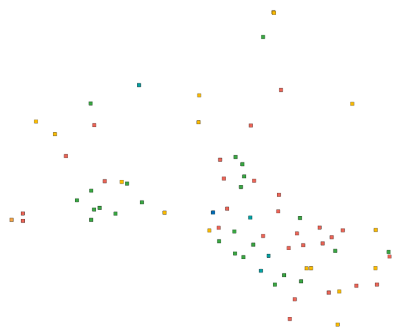
Production and Industrial Facilities contain the data set on establishments based on Statistics Finland's Business Register as follows: Data: location coordinates of the establishment, industry according to the Standard Industrial Classification TOL 2008 at the 2-digit level Industries according to D2.8.III.8 INSPIRE in TOL 2008 industries: B Mining and quarrying C Manufacturing D Electricity, gas steam and air conditioning supply E Water supply, sewerage, waste management and remediation activities F Construction H Transport and storage (excl. 53 Postal and courier activities) Coverage of the data set: establishments with over ten employees Statistical reference year: 2019 The data set is also suitable for viewing the location of industrial establishments. The coverage of the spatial data is about 90 % of the statistical data. The general Terms of Use must be observed when using the data: http://tilastokeskus.fi/org/lainsaadanto/copyright_en.html. In addition to the national version, an INSPIRE information product is also available from the data.
-
Statistics Finland's INSPIRE data Web Service is a WMS interface service through which the following data required by INSPIRE and national legislation on geographic information are available: 1) Statistical units: Regional divisions (municipality, major region, region, sub-regional unit, Regional State Administrative Agency (AVI), Centre for Economic Development, Transport and the Environment (ELY), electoral district) and grids 1 km x 1 km and 5 km x 5 km. 2) Non-profit and public services: Educational institutions (comprehensive schools, upper secon-dary general schools) 3) Production and industrial facilities: Production and industrial facilities The data are administered by Statistics Finland. The service is free of charge and does not require authentication or identification with a user ID and password. The general Terms of Use must be observed when using the data: http://tilastokeskus.fi/org/lainsaadanto/copyright_en.html.
-

EU-rekisterin tarkoituksena on muodostaa ajantasainen rekisteri EU:n alueella sijaitsevista suurista teollisuuslaitoksista ja eläinsuojista. Rekisteriä käytetään pohjana EU:n teollisuuspäästödirektiivin (2010/75/EU) sekä päästötietojen raportointia koskevan asetuksen (166/2006) mukaisille vuosittaisille raportoinneille. Suomessa on noin 1 200 tämän raportoinnin piiriin kuuluvaa teollisuuslaitosta tai suurta eläinsuojaa. Teollisuuspäästödirektiivin tarkoituksena on vähentää teollisuuden aiheuttamia ympäristö- ja terveyshaittoja tehostamalla ja yhdenmukaistamalla teollisuuden ympäristönsuojeluvaatimuksia. Direktiivillä pyritään myös parantamaan kansalaisten tiedonsaantia teollisuuslaitosten sijainnista sekä niitä koskevista lupamenettelyistä, lupamääräyksistä ja viranomais-valvonnan eri vaiheista. Teollisesta toiminnasta aiheutuvia haittoja pyritään vähentämään muun muassa käyttämällä parasta käyttökelpoista tekniikkaa (BAT). Toimialakohtaisten parhaan käyttökelpoisen tekniikan vertailuasiakirjojen keskeiset tulokset eli päätelmät ovat oikeudellisesti sitovia tietyin poikkeamismahdollisuuksin. Tällaiset ympäristöluvissa mahdollisesti myönnetyt poikkeukset eli käytännössä lievennykset päästöraja-arvoista ovat eräs keskeisimmistä raportoitavista asioista. Laitosrekisteriä koskevat tiedot raportoidaan vuosittain. Pieniä jätettä polttavia laitoksia ja orgaanisia liuottimia käyttäviä laitoksia koskevat tiedot raportoidaan kolmen vuoden välein. Aineistosta on julkaistu INSPIRE-tietotuote. Aineisto kuuluu SYKEn avoimiin aineistoihin (CC BY 4.0). Lisätietoja: https://geoportal.ymparisto.fi/meta/julkinen/Dokumentit/TuotantoJaTeollisuuslaitokset.pdf EU Registry on Industrial Sites The aim of the EU Registry is to maintain an up-to-date registry of industrial activities and large animal shelters across Europe. The Registry is used as a database for annual reporting obligations under the Industrial Emission Directive (2010/EU/75) and the European Pollutant Release and Transfer Register Regulation (166/2006). The Registry covers approximately 1,200 industrial activities or animal shelters in Finland. This Syke’s dataset can be used according to open data license (CC BY 4.0). INSPIRE compatible dataset has been published.
-
Tiedostopalvelun INSPIRE-syöte on Atom-syöte, jonka kautta on saatavilla Maanmittauslaitoksen tiedostoina ladattavat maastotieto- ja kiinteistörekisterikarttatietotuotteet. Aineistoja hallinnoi Maanmittauslaitos. Palvelun käyttö vaatii autentikointia eli tunnistautumista käyttäjätunnuksen ja salasanan avulla ja on avoimien aineistojen osalta maksutonta, muiden aineistojen osalta maksullista. Tunnuksen palvelun käyttöön voi tilata tilaustehtavat@maanmittauslaitos.fi -osoitteesta. Tunnuksen perustaminen on maksullista.
-

Paikkatietohakemisto is a national metadata discovery service.
-
Palvelu tarjoaa tietoja muun muassa liikenneverkoista, rakennuksista ja rakenteista, hallintorajoista, nimistöstä, maankäytöstä, vesistöistä ja korkeussuhteista. Aineistolähteenä on Maanmittauslaitoksen Maastotietokanta, jonka kohteita pidetään jatkuvasti ajan tasalla. Aineistot ovat Maanmittauslaitoksen avoimen tietoaineiston Nimeä CC 4.0 -lisenssin alaisia. Palvelu tarjotaan avoimena rajapintana, jonka käyttö on maksutonta. Käyttäjä tunnistetaan API-avaimella. Lue lisää Maanmittauslaitoksen avoimen rajapinnan käyttöehdoista ja API-avaimen luomisesta ja käyttämisestä. https://www.maanmittauslaitos.fi/rajapinnat/api-avaimen-ohje
-

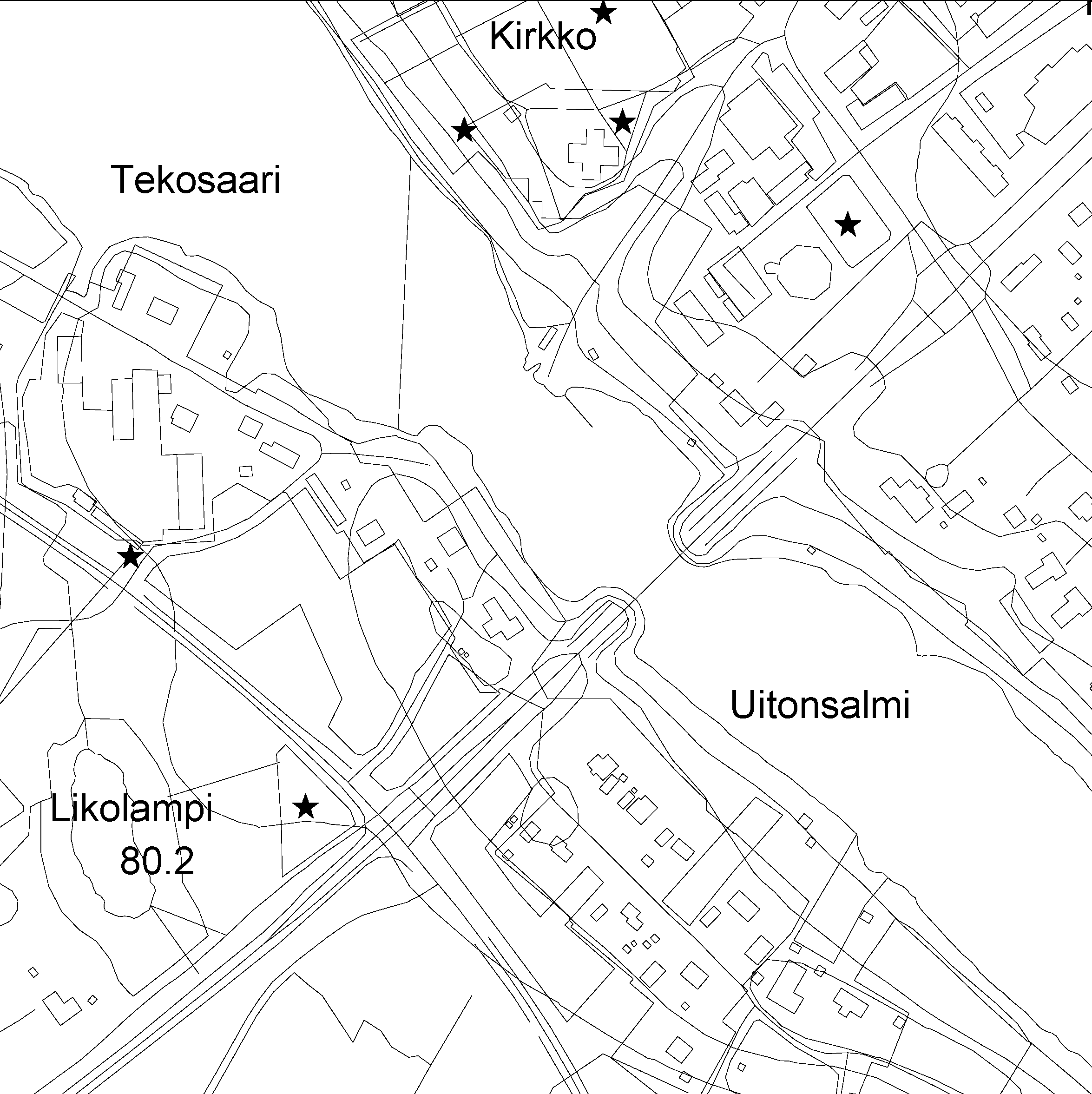
The Topographic database is a dataset depicting the terrain of all of Finland. The key objects in the Topographic database are the road network, buildings and constructions, administrative borders, geographic names, land use, waterways and elevation. Aerial photographs, scanning data and data provided by other data providers are utilised in updating the Topographic database. The updating is done in close cooperation with the municipalities. Field checks in the terrain are also needed to some extent, mostly as regards the classification of features. The topographic database is used in the production of other map products and in various optimisation tasks. The product belongs to the open data of the National Land Survey of Finland.
 Paikkatietohakemisto