Statistics Finland
Type of resources
Available actions
Topics
Keywords
Contact for the resource
Provided by
Representation types
Service types
Scale
-
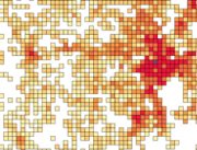
Number of population by 5 km x 5 km grids. The number of population on the last day of the reference year (31 December) by age group. Data includes only inhabited grids. The statistical variables of the data are: Total population (vaesto), number of men (miehet) and women (naiset), under 15 year olds (ika_0_14), 15–64 year olds (ika_15_64), and aged over 65 (ika_65_). Only the number of population is reported for grids of under 10 inhabitants. A grid identifier is expressed using a national identification code derived from the coordinates (idD_nro (num)) and INSPIRE's standard identification code (grd_id (char)). The data also contains the coordinates of the lower left-hand corner of a grid (xkoord, ykoord (num)). The data describes the population distribution independent of administrative areas (such as municipal borders). The data is suitable for examination of population distribution and making various spatial analysis. The general Terms of Use must be observed when using the data: https://tilastokeskus.fi/org/lainsaadanto/copyright_en.html. In addition to the national version, an INSPIRE information product is also available from the data.
-
Statistics Finland's Web Service is a WMS interface service through which the following data required by INSPIRE and national legislation on geographic information are available: 1) Statistical units: Regional divisions (municipality, major region, region, sub-regional unit, Regional State Administrative Agency (AVI), Centre for Economic Development, Transport and the Environment (ELY), electoral district) and grid 1 km x 1 km. 2) Non-profit and public services: Educational institutions (comprehensive schools, upper secon-dary general schools) 3) Production and industrial facilities: Production and industrial facilities 4) Population distribution by the regional divisions used in statistics and by 1 km x 1 km grids. Other data published: - Open data by postal code area (Paavo) - Population distribution by 5 km x 5 km grids The data are administered by Statistics Finland. The service is free of charge and does not require authentication or identification with a user ID and password. The general Terms of Use must be observed when using the data: http://tilastokeskus.fi/org/lainsaadanto/copyright_en.html.
-

Grid net for statistics 1 km x 1 km covers whole of Finland. The grid net includes all grid cells in Finland. The location reference of a grid cell is the coordinates of the bottom left corner of each grid cell. An identifier in accordance with national conventions (consecutive numbering) has also been produced for each grid cell. The Grid net for statistics 1 km x 1 km is the area division used in the production of statistics by 1 km x 1 km grid cells. For utilizing grid data auxiliary table of regional classifications are available: https://www.stat.fi/org/avoindata/paikkatietoaineistot/tilastoruudukko_1km_en.html. The general Terms of Use must be observed when using the data: https://tilastokeskus.fi/org/lainsaadanto/copyright_en.html. In addition to the national version, an INSPIRE information product is also available from the data.
-

Number of population by 1 km x 1 km grids. The number of population on the last day of the reference year (31 December) by age group. Data includes only inhabited grids. The statistical variables of the data are: Total population (vaesto), number of men (miehet) and women (naiset), under 15 year olds (ika_0_14), 15-64 year olds (ika_15_64), and aged over 65 (ika_65_). Only the number of population is reported for grids of under 10 inhabitants. A grid identifier is expressed using a national identification code derived from the coordinates (idD_nro (num)) and INSPIRE's standard identification code (grd_id (char)). The data also contains the coordinates of the lower left-hand corner of a grid (xkoord, ykoord (num)). The data describes the population distribution independent of administrative areas (such as municipal borders). The data is suitable for examination of population distribution and making various spatial analysis. Data is available as polygons and as centroids of grid cells. The general Terms of Use must be observed when using the data: https://tilastokeskus.fi/org/lainsaadanto/copyright_en.html. In addition to the national version, an INSPIRE information product is also available from the data.
-

Municipality-based statistical units are municipalities, sub-regional units, regions, major regions, Regional State Administrative Agencies (AVI), Centres for Economic Development, Transport and the Environment (ELY), wellbeing services counties and electoral districts. Maintenance of working areas was discontinued on 31 December 2023. Municipality-based statistical units correspond to the regional divisions used in the statistics of the statistical reference year concerned. Annual versions and the latest regionally divided data (excluding the year attribute in the name of the data) are published from the data. Data used without the year attribute are updated automatically. In addition to the national version, an INSPIRE information product is also available from the data.
-

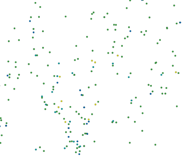
Location (x,y) and name of educational institutions. Statistical reference year 2022. Data includes a location and a name of every comprehensive and upper secondary level schools in Finland. The source of data is the yearly updated register of educational institutions (https://tilastokeskus.fi/tup/oppilaitosrekisteri/index_en.html) which is maintained by Statistics Finland. An educational institution is defined as an administrative unit as such not the school building or the operating place. Coordinates are mostly accurate based on the centroid of the building althought there exists some educational institutions with estimated coordinates. Estimations are based to the street address of the educational institutions. Validity (OLO): 0 = Valid 1 = Closed down during the statistical year 2 = Merged with another educational institution during the statistical year 3 = Educational institution removed from the educational institutions of the education system 6 = Educational institution had no activity during the statistical year 7 = Technical removal Type of educational institute (OLTYP): 11 = Comprehensive schools 12 = Comprehensive school level special education schools 15 = Upper secondary general schools 19 = Comprehensive and upper secondary level schools The general Terms of Use must be observed when using the data: http://tilastokeskus.fi/org/lainsaadanto/copyright_en.html. In addition to the national version, an INSPIRE information product is also available from the data.
-

Number of population by statistical units. The number of population on the last day of the reference year (31.12.). Statistical areas are municipalities, sub-regional units, regions, major regions, Regional State Administrative Agencies (AVI) and Centres for Economic Development, Transport and the Environment (ELY). The statistical variables in the data are: total population (vaesto), share of the total population (vaesto_p), number of men (miehet), men's share of the population in an area (miehet_p) and women (naiset), women's share (naiset_p), those aged under 15: number (ika_0_14), share (ika_0_14p), those aged 15 to 64: number (ika_15_64), share (ika_15_64p), and aged 65 or over: number (ika_65_), share (ika_65_p). The data is suitable for the examination of population distribution and making various regional analyses. The general Terms of Use must be observed when using the data: https://tilastokeskus.fi/org/lainsaadanto/copyright_en.html. In addition to the national version, an INSPIRE information product is also available from the data.
-

Grid net for statistics 250 m x 250 m covers whole of Finland. The grid net includes all grid cells in Finland. The location reference of a grid cell is the coordinates of the bottom left corner of each grid cell. An identifier in accordance with national conventions (consecutive numbering) has also been produced for each grid cell. The Grid net for statistics 250 m x 250 m is the area division used in the production of statistics by 250 m x 250 m grid cells. For utilizing grid data auxiliary table of regional classifications are available: https://www.stat.fi/org/avoindata/paikkatietoaineistot/tilastoruudukko_250m_en.html. The general Terms of Use must be observed when using the data: https://tilastokeskus.fi/org/lainsaadanto/copyright_en.html. The data download link can be found under the link below.
-

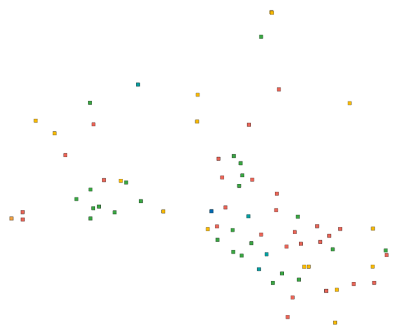
Road traffic accidents involving personal injury known to the police in Finland and reported to Statistics Finland, which have co-ordinate data. The data cover the following information: vvonn = year of the accident kkonn = month of the accident kello = time of the accident vakav = seriousness of the accident: 1 = accident resulting in death, 2 = accident resulting in injury, 3 = accident resulting in serious injury onntyyppi = type of accident: 0 = same direction of travel (going straight), 1 = same direction of travel (turning), 2 = opposite direction of travel (going straight), 3 = opposite direction of travel (turning), 4 = intersecting direction of travel (going straight), 5 = intersecting direction of travel (turning), 6 = pedestrian accident (on pedestrian crossing), 7 = pedestrian accident (elsewhere), 8 = running off the road, 9 = other accident lkmhapa = number of passenger cars and vans in the accident lkmlaka = number of buses and lorries in the accident lkmjk = number of pedestrians in the accident lkmpp = number of bicycles and light electric vehicles in the accident lkmmo = number of mopeds in the accident lkmmp = number of motor cycles in the accident lkmmuukulk = number of other vehicles in the accident x = x co-ordinate of the accident y = y co-ordinate of the accident The general Terms of Use must be observed when using the data: http://tilastokeskus.fi/org/lainsaadanto/copyright_en.html.
-

Production and Industrial Facilities contain the data set on establishments based on Statistics Finland's Business Register as follows: Data: location coordinates of the establishment, industry according to the Standard Industrial Classification TOL 2008 at the 2-digit level Industries according to D2.8.III.8 INSPIRE in TOL 2008 industries: B Mining and quarrying C Manufacturing D Electricity, gas steam and air conditioning supply E Water supply, sewerage, waste management and remediation activities F Construction H Transport and storage (excl. 53 Postal and courier activities) Coverage of the data set: establishments with over ten employees Statistical reference year: 2019 The data set is also suitable for viewing the location of industrial establishments. The coverage of the spatial data is about 90 % of the statistical data. The general Terms of Use must be observed when using the data: http://tilastokeskus.fi/org/lainsaadanto/copyright_en.html. In addition to the national version, an INSPIRE information product is also available from the data.
 Paikkatietohakemisto