 Paikkatietohakemisto
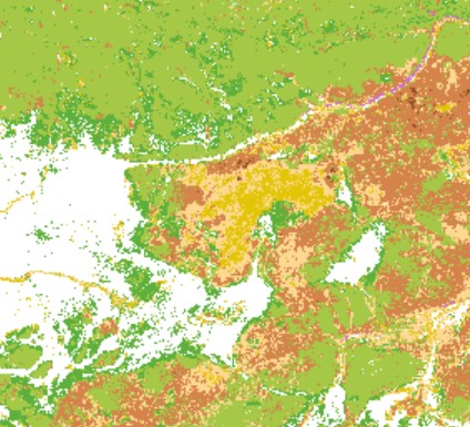
coniferous forest
Type of resources
Topics
Keywords
Contact for the resource
Provided by
Formats
Representation types
Scale
Resolution
-
The data set consists of yearly maps of the start of the vegetation active period in deciduous vegetation and coniferous forest. The start of vegetation active period in deciduous vegetation (Day of Year) is defined as the day when deciduous trees unfold new leaves in spring. It is also often referred to as the green-up or greening day. The data set was derived from time series of the Normalized Difference Water Index (NDWI) calculated from Moderate Resolution Imaging Spectroradiometer (MODIS) satellite observations. The start of vegetation active period in coniferous forest (Day of Year) is defined as the day when coniferous trees start to photosynthesize in spring. The data set was derived from MODIS satellite observation of Fractional Snow Cover. The day when snow cover decreases during spring melt was used as a proxy indicator for the beginning of the start of the vegetation active period. The data set can be used of phenology analysis at regional and national scale and as input data for modelling. This SYKE’s dataset can be used according to open data license (CC BY 4.0)
-
Aineisto kuvaa vallitsevaa puulajia. Puulajitulkinta tuotettiin satelliittikuvilta alueilta, jotka luokiteltiin metsäksi puustoisuus-aineistossa (LINKKI). Aineistoa on jälkiprosessoitu erilaisten sääntöjen ja puurajamaskien mukaan. Aineisto on 10x10 m rasteri. Luokitus erillisessä dokumentissa https://geoportal.ymparisto.fi/meta/julkinen/dokumentit/Ylalappi_luokitus.xls. Ylä-Lapin kaukokartoitushankkeen loppuraportti https://julkaisut.metsa.fi/julkaisu/yla-lapin-luonnon-kaukokartoitus-projektin-loppuraportti-osa-1-aineistot-ja-menetelmat/ Aineistoja on käytetty Ylä-Lapin biotooppitiedon päivitykseen. Aineistoja voi käyttää erilaissa selvityksissä ja ympäristöhallinnon tehtävien tukena. Aineisto kuuluu SYKEn avoimiin aineistoihin (CC BY 4.0) --- Northern Lapland: Main tree species is produced by combining of satellite-based remote sensing and field observations with GIS data. The data is a 10x10 m raster. The dataset will be available in the next Habitats Directive reporting and in the assessment of threatened habitats as well as in other surveys, assessments and studies, and they can be used in the implementation of the EU Biodiversity Strategy. More information: https://www.metsa.fi/en/project/remote-sensing-northern-lapland/ This SYKE’s dataset can be used according to open data license (CC BY 4.0)