 Paikkatietohakemisto
Maanmittauslaitos
Type of resources
Available actions
Topics
Keywords
Contact for the resource
Provided by
Years
Formats
Representation types
Update frequencies
Service types
Scale
Resolution
-
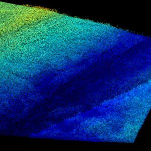
Laser scanning data refers to three-dimensional point-like data depicting the ground and objects on the ground. Each point is provided with x, y and z coordinate information. Laser scanning data 0.5 p has been spaced out from Laser scanning data 5 p's density of 5 p/m² to a density of 0.5 p/m². Laser scanning data 0.5 p is open data, and from 2020 onwards, it will be collected according to the national laser scanning programme (in Finnish): https://www.maanmittauslaitos.fi/laserkeilaus-ja-ilmakuvaus. For the time being, it is available only from certain parts of Finland. The product belongs to the open data of the National Land Survey of Finland. More information (in Finnish): https://www.maanmittauslaitos.fi/laserkeilausaineistot.
-

The map sheet division is a system created for printing maps, which covers map sheet codes, map scales and map sheet sizes. Today, map sheet division is also used for other purposes. It is also possible to download other NLS datasets in addition to maps in accordance with map sheet division. The map sheet division TM35, which is based on the projected coordinate reference system ETRS-TM35FIN is in use today. Before 2007, a map sheet division that was based on the KKS coordinate reference system was used. The TM35 map sheet division consists of 7 different grid sizes, the smallest scale is 1:200,000 and the largest is 1:5000. An explanation of how the grids are further split into more detailed grids and the principles of map sheet numbering is on the National Land Survey website (in Finnish) https://www.maanmittauslaitos.fi/kartat-ja-paikkatieto/kartat/osta-kartta/nain-loydat-oikean-karttalehden. The attribute data of the grids include map sheet number, the area of a square on the grid, perimeter and the coordinates of the centre of the square. The map sheet division is available as a file in vector format and through our contract-based WMTS service in raster format. In addition, you can view it in the geoportal Paikkatietoikkuna. The product is a part of the open data of the National Land Survey.
-

The Background map is a dataset product series in raster format that depicts the whole of Finland and that is meant for web use as a background material for thematic data. Its key objects are road names, roads and railways, buildings and constructions, administrative borders, geographical names, waterways, land use and addresses of buildings (from Ryhti/Finnish Environment Institute). The product belongs to the open data of the National Land Survey of Finland.
-

Paikkatietohakemisto is a tool for describing geographical data and services. Paikkatietohakemisto is a national metadata discovery service, providing published metadata through a CSW interface.
-
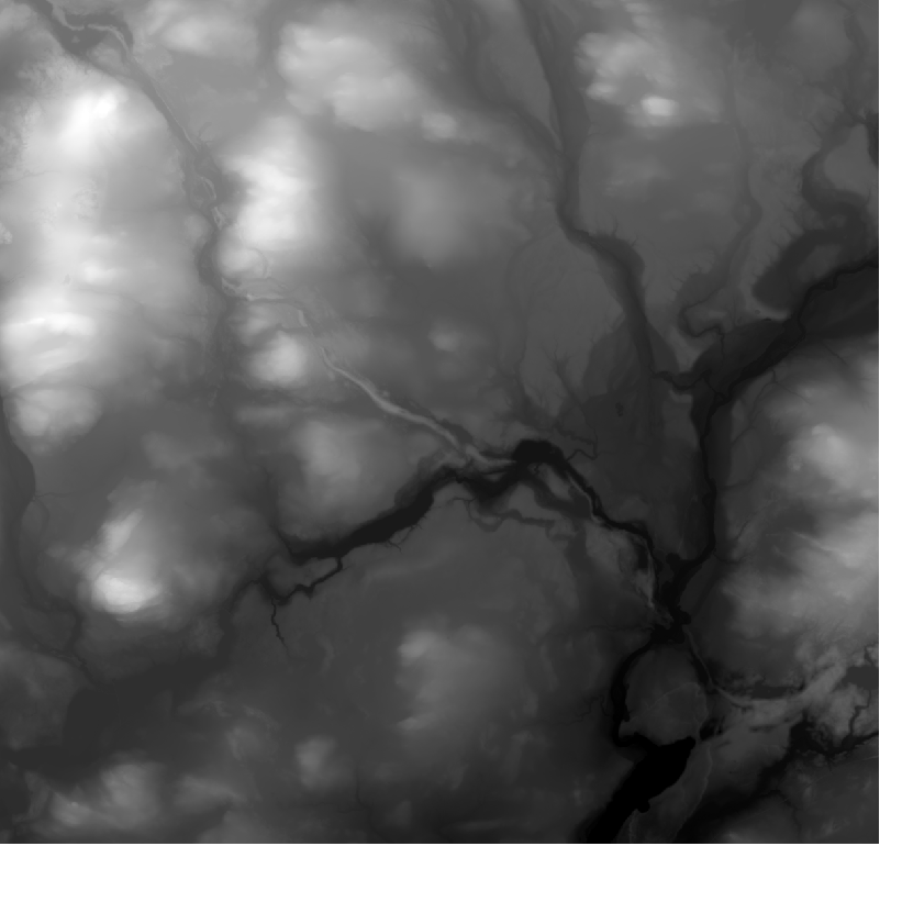
Elevation model 10 m depicts the elevation of the ground surface of the whole of Finland in relation to sea level. Its grid size is 10 m x 10 m and the accuracy of elevation data 1.4 metres. The product belongs to the open data of the National Land Survey of Finland.
-
Paikkatiedon tiedostopalvelu (OGC API Processes) tarjoaa kyselyrajapinnan, jonka kautta voi hakea Maanmittauslaitoksen avoimia paikkatietoaineistoja tiedostopaketteina. Aineistot ovat samat, joita voi hakea käyttöliittymän kautta Karttapaikka-palvelun Lataa paikkatietoaineistoja -osiosta. Aineistojen tarkemmat tiedot ovat luettavissa tuotekuvauksista https://www.maanmittauslaitos.fi/kartat-ja-paikkatieto/aineistot-ja-rajapinnat/tuotekuvaukset Palvelu sopii esimerkiksi käyttöön, jossa on tarvetta hakea paikkatietoaineistoja koordinaateilla eli suorakaiteella (Bounding Box) tai polygonirajauksella. Karttapaikan Lataa paikkatietoaineistoja-osiossa nämä valinnat piirretään kartalla, mutta OGC API Processes -palvelussa koordinaatit voi syöttää kyselyparametreina. Hakuparametrit vaihtelevat aineistosta riippuen. Osaa aineistoista voi hakea myös karttalehden, kunnan tai teeman perusteella, tai koko Suomen alueelta. Palvelusta saatavat aineistot ovat Maanmittauslaitoksen avoimen tietoaineiston Nimeä CC 4.0 -lisenssin alaisia. Palvelu tarjotaan avoimena rajapintana, jonka käyttö on maksutonta. Käyttäjä tunnistetaan API-avaimella. https://www.maanmittauslaitos.fi/rajapinnat/api-avaimen-ohje https://www.maanmittauslaitos.fi/paikkatiedon-tiedostopalvelu
-

Division into administrative areas (raster) is a dataset depicting the municipal Division of Finland. The dataset Municipal Division is produced in scales 1:10,000, 1:100,000, 1:250,000, 1:1,000,000 and 1:4,500,000. The data included in the dataset in scale 1:10,000 are taken from the Cadastre. Regarding other scales, municipal boundaries have been generalised to suit the scale in question. Division into administrative areas products in raster format include municipal boundaries only. The product is a part of the open data of the National Land Survey.
-
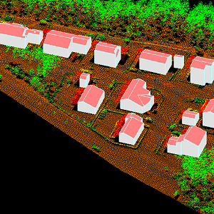
The 3D vectors for buildings are three-dimensional instances of the Building target category in the National Topographic Database (KMTK). The 3D vectors are produced with a high degree of automation from laser scanning data 5 p based on 2D vectors for buildings in KMTK. For the time being, data is available only from a few example areas, but the coverage will be extended to the whole of Finland as the laser scanning programme proceeds. The product belongs to the open data of the National Land Survey of Finland.
-
The Plain map series is a simple, plain and readable dataset product series in raster format that depicts the whole of Finland. The product is meant to be used as a background map whose character changes to a guide map in large scales. Impaired vision has been taken into account when designing the product. The key objects presented on the map are roads and railways, road names, buildings and constructions, administrative borders, waterways and other geographical names. The road network, public buildings and texts have been especially emphasised. The most usual limitations of colour vision have been taken into account in the use of colours. The product belongs to the open data of the National Land Survey of Finland.
-
National Land Survey's geographic names are available as interfaces and files. Interfaces and file products comprise of place name products and map name products. The place name products include data about approximately 800,000 named places and their names in different languages. Data about place are among others place type, plane location and height above sea level, and data about names are among others the spelling that has been checked by the Institute for the Languages of Finland and language (Finnish, Swedish, Northern Sami, Inari Sami or Skolt Sami. In the place name products, every place and its name or names appear only once. The map name products contain the place names that have been selected for the National Land Survey's nine standard map products and information about the cartographical presentation of them. The information includes the location of the name on the map, for instance the coordinates of the left lower corner of the map text, the direction and bending of the text as well as typographical information, such as font type, size and colour. The name of a particular place, such as a river, can appear several times in the same map product. The product is a part of the open data of the National Land Survey.