Paikkatietohakemisto
Kangasalan vahvistamaton digikaavayhdistelmä WFS-palveluna
Kangasalan ajantasa-asemakaava WFS-palveluna (ImageServer) on WFS-rajapintapalvelu, jonka kautta on saatavilla seuraavat karttatasot: Tontit, Tehokkuus, Rakennusalat, Osa-alue_pisteet, Muut_alueet, Merkinnät, Käyttötarkoitus, Kortteli, Kaavahanke ja DigiKaavan_tontit_rakennusaloilla.
Aineistoa hallinnoi Kangasalan kaupunki.
Palvelun käyttö on maksutonta eikä vaadi autentikointia eli tunnistautumista käyttäjätunnuksen ja salasanan avulla.
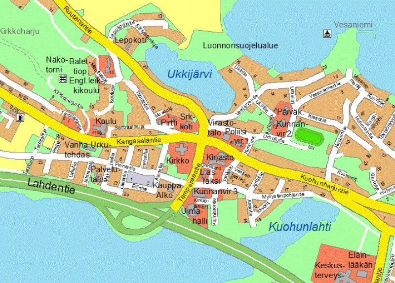
Opaskartta on ETRS-GK24 koordinaatistossa.
Simple
Identification info
- Date (Publication)
- 2013-09-16
- Identifier
- http://www.paikkatietohakemisto.fi/geonetwork/srv/metadata/2867c909-3b16-46ce-9b65-52210dc9bad0
-
Classification of Spatial Data Services
-
-
Tietokohdepalvelu
-
-
INSPIRE Service taxonomy
-
-
infoFeatureAccessService
-
-
Paikkatietohakemiston asiasanasto
-
-
avoindata.fi
-
Ajantasa-asemakaava
-
-
Hallinnolliset yksiköt
-
-
Kangasala
-
- Access constraints
- Other restrictions
- Other constraints
- julkista saatavuutta ei ole rajoitettu
- Use constraints
- Other restrictions
- Other constraints
- käyttöehdot tuntemattomat. Aineiston muokkaaminen, uudelleenjulkaisu ja edelleenluovutus on ilman Kangasalan kaupungin lupaa kielletty.
- Service Type
- download
Contains Operations
- Unique resource identifier
- EPSG:3878
- OnLine resource
- https://paikkatietopalvelu.pirnet.fi/arcgis/services/kangasala/DigiKaava/MapServer/WFSServer?request=GetCapabilities&service=WFS ( http://www.opengis.net/def/serviceType/ogc/wfs )
- Hierarchy level
- Service
- Other
-
Palvelu
Conformance result
- Date (Publication)
- 2009-10-19
- Explanation
-
Palvelu ei ole Inspire-vaatimusten mukainen WMS-palvelu.
- Pass
- No
- File identifier
- 2867c909-3b16-46ce-9b65-52210dc9bad0 XML
- Metadata language
- Finnish
- Hierarchy level
- Service
- Hierarchy level name
-
Palvelu
- Date stamp
- 2023-08-03T07:39:11
Overviews

Spatial extent
Provided by