 Paikkatietohakemisto
Traficomin rajoitettu WMS
Liikenne- ja viestintävirasto Traficomin rajoitettu WMS on WMS-rajapintapalvelu, jonka kautta on saatavilla seuraavat karttatasot.
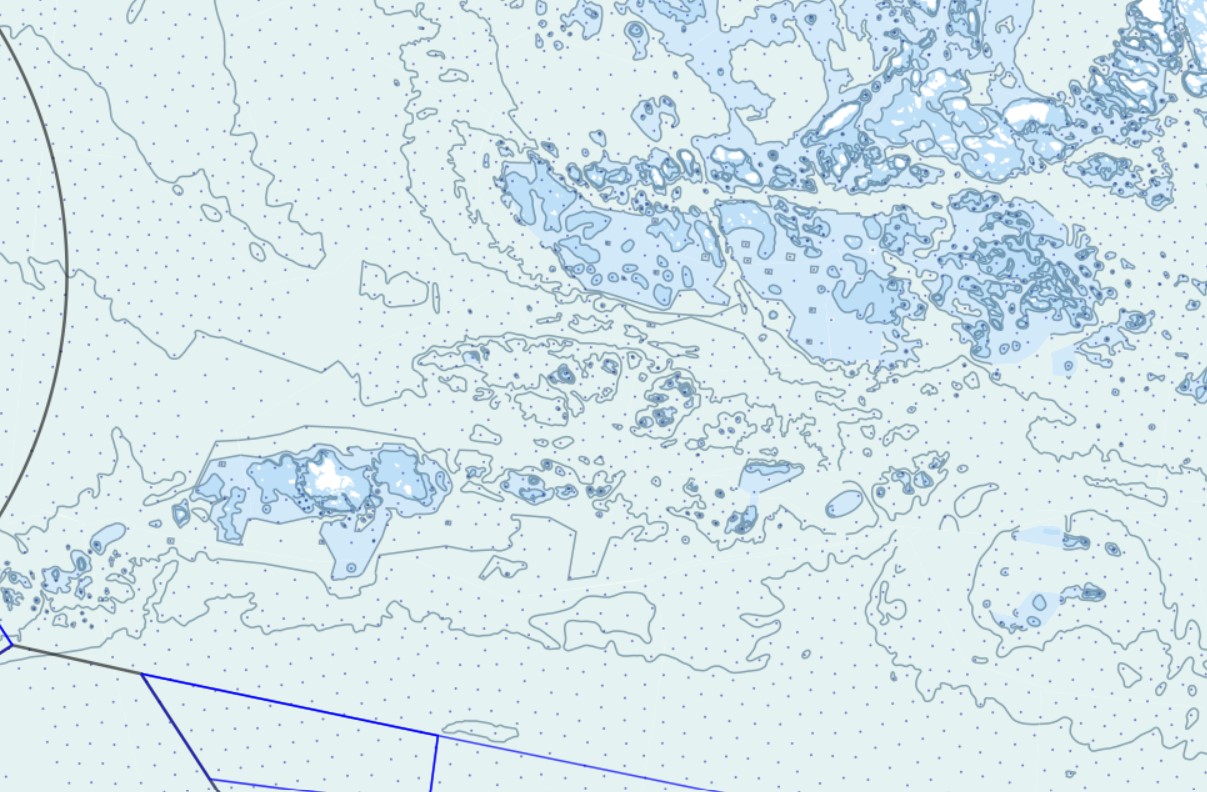
Syvyysalueet (Syvyysalue_a)
Syvyyskäyrät (Syvyyskayra_v)
Syvyyspisteet (Syvyyspiste_p)
Reittijakojärjestelmä (Reittijakojarjestelma_a)
Reittijakojärjestelmä (Reittijakojarjestelmä_v)
Simple
Identification info
- Date (Revision)
- 2015-03-10
-
Classification of Spatial Data Services
-
-
Karttakuvapalvelu
-
-
INSPIRE Service taxonomy
-
-
infoMapAccessService
-
- Theme
-
-
Liikenneverkot, Hydrografia, Korkeus
-
Valtakunnanrajat (valtiot), Turvalaitteet, Väylät, Johtoverkot
-
- Keywords
-
-
avoindata.fi
-
-
GEMET - INSPIRE themes, version 1.0
-
-
Liikenneverkot
-
Korkeus
-
- Access constraints
- Other restrictions
- Other constraints
- julkista saatavuutta ei ole rajoitettu
- Use constraints
- Other restrictions
- Other constraints
- Service Type
- view
))
Coupled Resource
- Operation Name
-
GetCapabilities
- Identifier
-
b8544846-94f6-4e13-a5eb-eeec84d2beff
Coupled Resource
- Operation Name
-
GetCapabilities
- Identifier
-
1d1c8600-76bf-4e1f-bd09-b5c154ca30dc
Coupled Resource
- Operation Name
-
GetCapabilities
- Identifier
-
3018dc34-cb48-4ce3-ad3e-24f83afcc03a
Coupled Resource
- Operation Name
-
GetCapabilities
- Identifier
-
fd24bd10-df95-4767-8c6c-425632674696
Contains Operations
- Operates On
- OnLine resource
- https://julkinen.traficom.fi/inspirepalvelu/rajoitettu/wms?request=getcapabilities ( WWW:LINK-1.0-http--link )
- Hierarchy level
- Service
- Other
-
Palvelu
Conformance result
- Date (Publication)
- 2009-10-19
- Explanation
-
Palvelu on sääntöjenmukainen verkkopalvelu
- Pass
- Yes
- File identifier
- 8127ee79-7b03-434e-a9a3-cf191bd723a3 XML
- Metadata language
- Finnish
- Hierarchy level
- Service
- Hierarchy level name
-
Palvelu
- Date stamp
- 2025-12-15T16:06:19
Overviews
Spatial extent
Provided by
