 Paikkatietohakemisto
Topographic map (raster)
The Topographic map is a dataset depicting the terrain of all of Finland. The key elements in it are the road network, buildings and constructions, geographic names, waterways, land use and elevation.
The more precise levels of the Topographic map consist of the same map objects and map symbols depicted in the same way as in the familiar Basic map. Basic map raster is applicable to be used, for instance, as a base map for planning land use or for excursion and outdoor recreational purposes in mobile devices and in various Internet services associated with nature.
When going over to the more general datasets in the Topographic map, the number and visualisation of objects and map symbols changes. The generalised small-scale Topographic maps raster are applicable to be used as approach maps in e.g. mobile devices and Internet services.
The product belongs to the open data of the National Land Survey of Finland.
Simple
- Date (Publication)
- 2007-09-24
- Identifier
- FI / 1001107
- Purpose
-
The large-scale datasets in the Topographic map are applicable to be used, for instance, as base maps for planning land use or for excursion and outdoor recreational purposes in mobile devices and in various Internet services associated with nature.
The small-scale datasets are applicable to be used as approach maps in e.g. mobile devices and Internet services.
- Maintenance and update frequency
- Continual
- Maintenance note
-
The data of the products in scales 1:10,000 (basic map) and 1:50,000 is updated with a delay of approximately 2‒3 days after the dataset has been updated in the Topographic database (see the product description of the Topographic database).
The products in scales 1:100,000, 1:250,000, 1:500,000 and 1:1,000,000 are published once a year in July. Administrative borders, protected areas and firing ranges are updated annually. The road network is updated every 1‒2 years. Topographic areas of human activity are updated every 2 years. Other map layers are updated every 2‒10 years. The updating status of all map layers of the products can be seen in the maintenance tables:
Maintenance of Topographic map 1:100,000
Maintenance of Topographic map 1:250,000
The maintenance table of Topographic map 1:100,000 shows the maintenance of Topographic map 1:500,000 and Topographic map 1:1,000,000
The products in scales 1:2,000,000, 1:4,500,000 and 1:8,000,000 are published once a year in July. Administrative borders are updated annually. The road network is updated every 1‒2 years. Other map layers are updated every 2‒10 years. The updating status of all map layers of the products can be seen in the maintenance table:
The maintenance table of Topographic map 1:4,500,000 shows the maintenance of Topographic map 1:2,000,000, Topographic map 1:4,500,000 and Topographic map 1:8,000,000
Geographic names are updated in the rasters of the WMS and WMTS interfaces every 1‒2 days.
The products are available from the NLS MapSite's Download geospatial data -section according to the above-described updating rhythm.
-
GEMET - INSPIRE themes, version 1.0
-
-
Land cover
-
Buildings
-
Transport networks
-
Sea regions
-
Elevation
-
-
Paikkatietohakemiston asiasanasto
-
-
Not-Inspire
-
avoindata.fi
-
- Access constraints
- Other restrictions
- Other constraints
- no limitations to public access
- Use constraints
- Other restrictions
- Other constraints
- Attribution 4.0 International (CC BY 4.0)
- Other constraints
-
The copyright and the other immaterial rights on the Topographic map (raster) are owned by the National Land Survey of Finland. The product is maintained by using data from the municipalities. The Finnish Environment Institute and the Finnish Transport Infrastructure Agency have the copyright on the route information used in creating the Topographic map (raster). In addition, the Finnish Environment Institute has the copyright on the depth contour data used in Topographic map (raster). The data material is not confidential. Public access to the material is not restricted by the INSPIRE Directive. Mention the name of the Licensor (the National Land Survey of Finland), the name of the dataset(s) and the time when the National Land Survey has delivered the dataset(s) (e.g.: contains data from the National Land Survey of Finland Topographic Database 06/2014).
- Spatial representation type
- Grid
- Denominator
- 10000
- Distance
- 1 m
- Denominator
- 50000
- Distance
- 4 m
- Denominator
- 100000
- Distance
- 8 m
- Denominator
- 250000
- Distance
- 32 m
- Denominator
- 500000
- Distance
- 64 m
- Denominator
- 1000000
- Distance
- 128 m
- Denominator
- 2000000
- Distance
- 256 m
- Denominator
- 4500000
- Distance
- 1024 m
- Denominator
- 8000000
- Distance
- 2048 m
- Metadata language
- Finnish
- Metadata language
- swe
- Metadata language
- smn
- Metadata language
- sme
- Metadata language
- sms
- Character set
- 8859 Part 10
- Character set
- 8859 Part 15
- Topic category
-
- Imagery base maps earth cover
- Location
- Structure
- Transportation
- Elevation
- Boundaries
- Farming
- Inland waters
- Environment
))
- Reference system identifier
- EPSG / ETRS89 / TM35FIN(E,N) (EPSG:3067) / 8.6
- Reference system identifier
- EPSG / N60 height (EPSG:5717) / 8.6
- Distribution format
-
-
PNG
(
)
-
PNG
(
)
- OnLine resource
- MapSite Download geospatial data section
- OnLine resource
-
Karttakuvapalvelu (WMS)
(
WWW:LINK-1.0-http--link
)
Karttakuvapalvelu (WMS)
- Hierarchy level
- Dataset
Conformance result
- Date (Publication)
- 2010-12-08
- Pass
- No
- Statement
-
Basic map raster 1:10,000 and Topographic map raster 1:50,000 are produced from the National Land Survey's topographic database. See the product description of the Topographic database http://www.maanmittauslaitos.fi/en/maps-and-spatial-data/expert-users/product-descriptions/topographic-database
Topographic map raster 1:100,000 and 1:250,000 are produced from the following datasets in vector format: Topographic map 1:100,000 and Topographic map 1:250,000 http://www.maanmittauslaitos.fi/en/maps-and-spatial-data/expert-users/product-descriptions/topographic-map-series-vector
Topographic map raster 1:500,000 is produced from the vector dataset: Topographic map 1:1,000,000
Topographic map raster 1:1,000,000 is produced from the following vector dataset: Topographic map 1:1,000,000 http://www.maanmittauslaitos.fi/en/maps-and-spatial-data/expert-users/product-descriptions/topographic-map-series-vector
Topographic map raster 1:2,000,000, 1:4,500,000 and 1:8,000,000 are produced from the following vector dataset: Topographic map 1:4,500,000 http://www.maanmittauslaitos.fi/en/maps-and-spatial-data/expert-users/product-descriptions/topographic-map-series-vector
The updating frequency of the scales in the Topographic map series varies depending on the feature (see Data content for each scale and Maintenance)
- Included with dataset
- No
- Date (Revision)
- 2021-03-26
- Other citation details
-
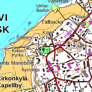
Basic map raster 1:10,000
Print colour, anti-aliased:
The colours of the print version are the same as in Basic map in print. The image has been anti-aliased.
Print colour, not anti-aliased:
The colours of the print version are the same as in Basic map in print. The image has not been anti-aliased.
Background colour with contour lines, anti-aliased:
This version of the product is used as a background map in different kinds of presentations. Its colours have been lightened so that any other colours than black (or grey) have been removed; this applies to all other objects than waterways, fields, contour lines and figures, depth contours and figures, depth points, administrative borders, natural protected area boundaries and other special-purpose area boundaries. Fields are coloured with a lighter yellow colour than in the print version and swamps are marked with line raster. In addition, regarding swamps that are hard to cross, treeless and wooded swamps have been combined, and regarding passable swamps, treeless and wooded swamps have been combined. The image has been anti-aliased.
Topographic map raster 1:50,000
The image has been anti-aliased.
The colours of the map are the same as in Topographic map in print.
The objects of Topographic map raster 1:50,000 are listed on the Topographic database object model:
https://www.maanmittauslaitos.fi/sites/default/files/maastotietokanta_kohdemalli_eng.xlsx
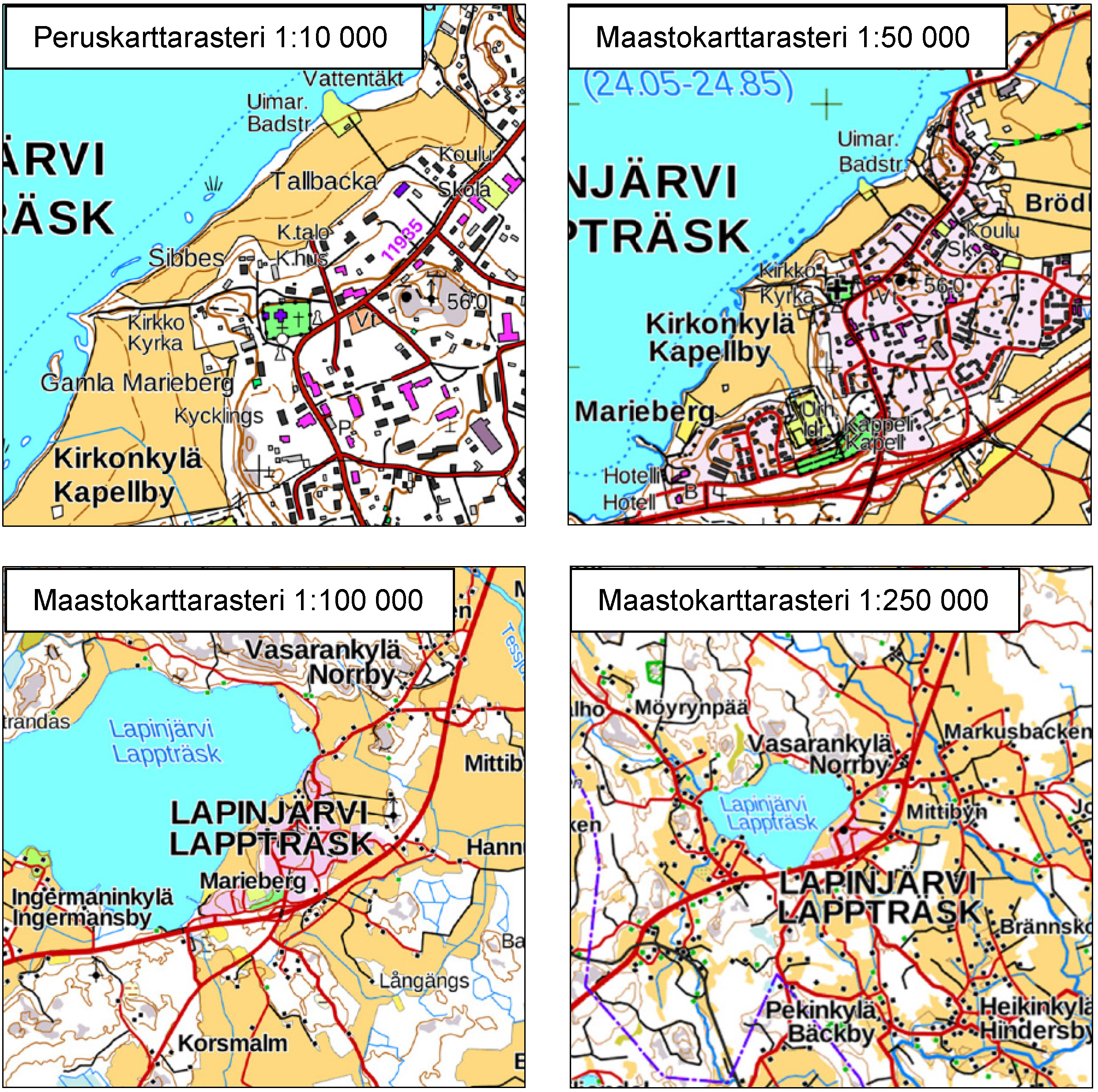
Topographic map raster 1:100,000
The image has been anti-aliased.
The colours of the map are the same as in Topographic map in print.
The objects of Topographic map raster 1:100,000 are listed in the enclosed attachment (in Finnish):
http://www.maanmittauslaitos.fi/sites/default/files/M100_rasteri_kuvattavat_kohteet_1.pdf
Topographic map raster 1:250,000
The image has been anti-aliased.
The objects of Topographic map raster 1:250,000 are listed in the enclosed attachment (in Finnish):
http://www.maanmittauslaitos.fi/sites/default/files/M250_rasteri_kuvattavat_kohteet_0.pdf
Topographic map raster 1:500,000
The image has been anti-aliased.
The objects of Topographic map raster 1:500,000 are listed in the enclosed attachment in Finnish):
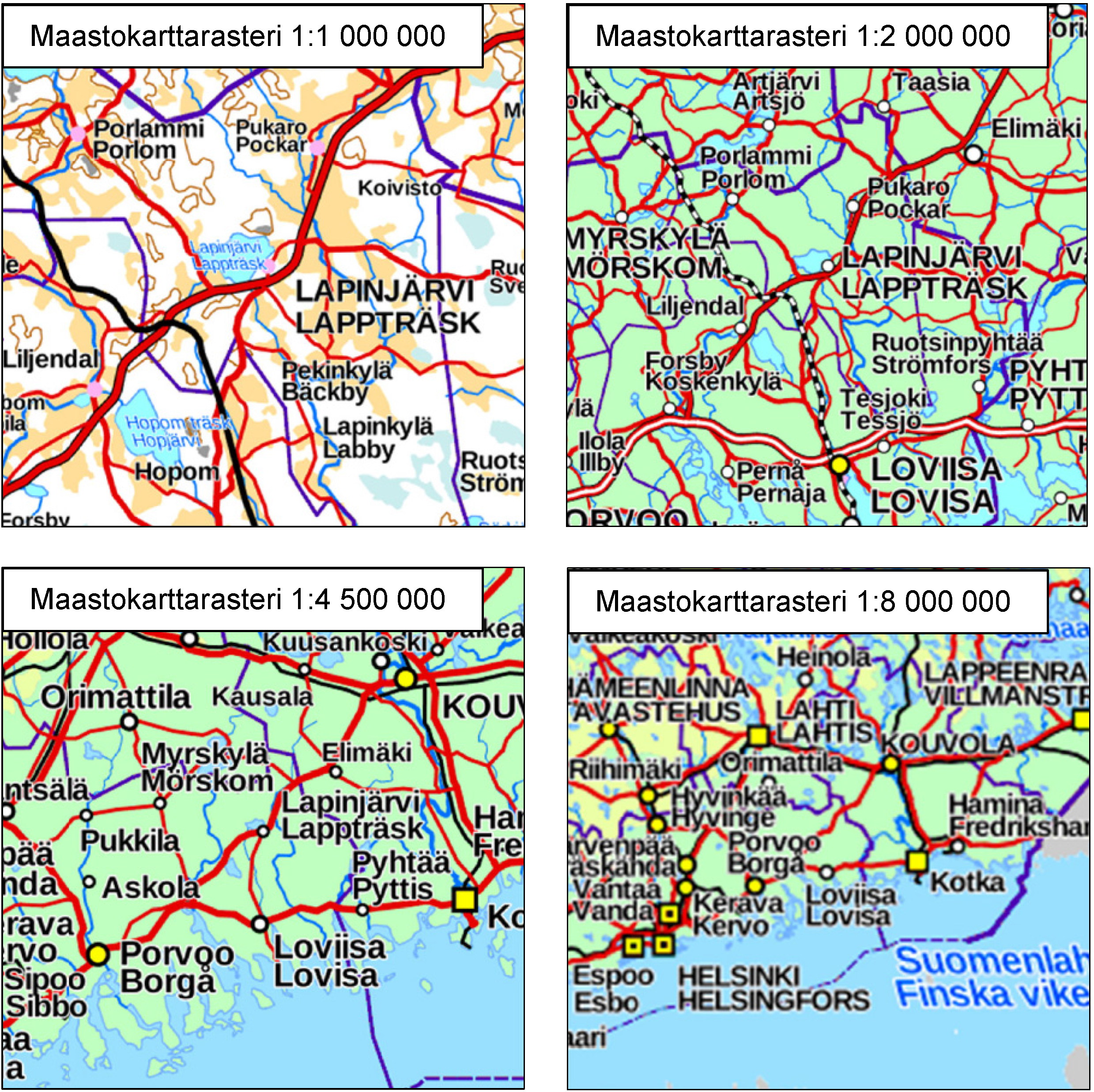
Topographic map raster 1:1,000,000
The image has been anti-aliased.
The objects of Topographic map raster 1:1,000,000 are listed in the enclosed attachment (in Finnish): http://www.maanmittauslaitos.fi/sites/default/files/Yleiskartta_1milj_rasteri_kuvattavat_kohteet.pdf
Topographic map raster 1:2,000,000
The image has been anti-aliased.
The objects of Topographic map raster 1:2,000,000 are listed in the enclosed attachment (in Finnish):
http://www.maanmittauslaitos.fi/sites/default/files/Yleiskartta_2milj_rasteri_kuvattavat_kohteet.pdf
Topographic map raster 1:4,500,000
The image has been anti-aliased.
The objects of Topographic map raster 1:4,500,000 are listed in the enclosed attachment (in Finnish):
Topographic map raster 1:8,000,000
The image has been anti-aliased.
The objects of Topographic map raster 1:8,000,000 are listed in the enclosed attachment (in Finnish):
http://www.maanmittauslaitos.fi/sites/default/files/Yleiskartta_8milj_rasteri_kuvattavat_kohteet.pdf
- File identifier
- a959b07c-16ff-4ed0-9a3b-72d6bbc026ff XML
- Metadata language
- Finnish
- Hierarchy level
- Series
- Hierarchy level name
-
Aineisto
- Date stamp
- 2025-09-11T11:00:55
Overviews
Spatial extent
Provided by
