Paikkatietohakemisto
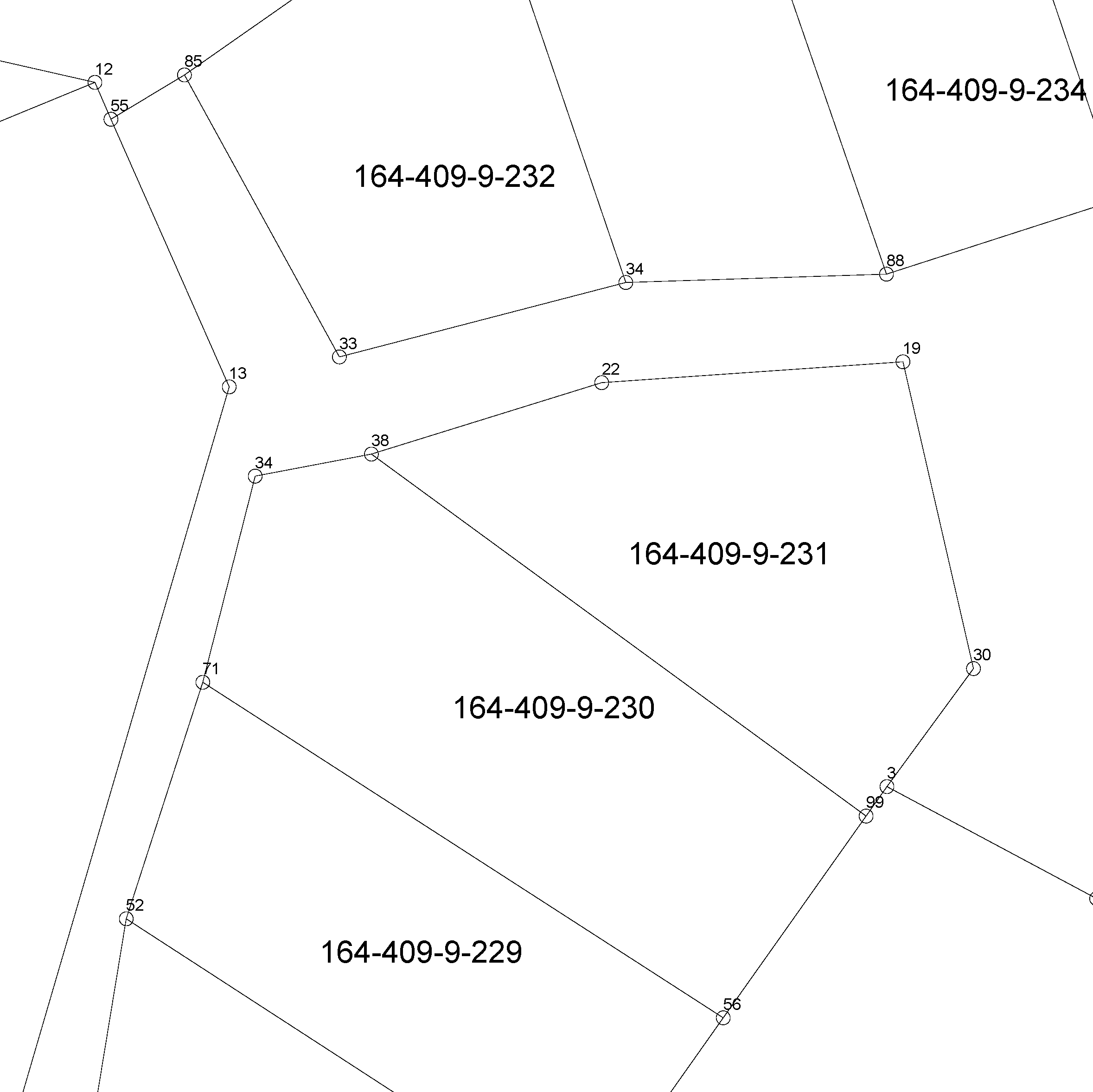
Cadastral index map (vector)
The Cadastral index map shows location data of real property units. They include boundaries, boundary markers, property identifiers, and unseparated parcels of real property units and other register units. The product is open data.
You can take the product into use via the interface services or in file format in the Download geospatial data section on MapSite. You can read more about acquisition in the section Distribution and further information below. If you download the product with municipal boundaries on MapSite, it is good to know that parcels also include areas from the neighbouring municipality. You can make a more precise intersection in the client software, for instance with the Administrative areas product. The linear boundary data is, however, intersected according to municipal boundaries.
Other attribute data related to properties are available in the Cadastre. More information (in Finnish and Swedish): http://www.maanmittauslaitos.fi/kiinteistot/asiantuntevalle-kayttajalle/kiinteistotiedot-ja-niiden-hankinta
Simple
- Date (Publication)
- 2014-12-29
- Purpose
-
Fastighetsregisterkartan behövs exempelvis i samband med planering av markanvändning, planläggning, fastighetsköp, skogsplanering, som baskarta för andra uppgifter och i karttjänster.
- Credit
-
Municipalities
- Point of contact
-
Organisation name Individual name Electronic mail address Role National Land Survey of Finland
Custodian
- Maintenance and update frequency
- Continual
- Maintenance note
-
In the interface services, changes made in the register are updated on the product every night.
In the NLS MapSite's Download geospatial data -section, changes made in the register are updated on the product every night for GeoJson and Geopackage formats and three times per week for SHP- and GML formats (tuesday, wednesday, sunday).
- Metadata author
-
Organisation name Individual name Electronic mail address Role Maanmittauslaitos
National Land Survey of Finland
Custodian
-
Paikkatietohakemiston asiasanasto
-
-
Property boundaries
-
Properties
-
avoindata.fi
-
Administrative boundaries
-
Not-Inspire
-
-
GEMET - INSPIRE themes, version 1.0
-
-
Cadastral parcels
-
- Access constraints
- Other restrictions
- Other constraints
- no limitations to public access
- Use constraints
- Other restrictions
- Other constraints
- Attribution 4.0 International (CC BY 4.0)
- Other constraints
-
Copyright and other immaterial rights to the Cadastral index map are owned by the National Land Survey and the municipalities. Mention the name of the Licensor (the National Land Survey of Finland), the name of the dataset(s) and the time when the National Land Survey has delivered the dataset(s) (e.g.: contains data from the National Land Survey of Finland Topographic Database 06/2014).
- Spatial representation type
- Vector
- Denominator
- 5000
- Language
- Finnish
- Language
- Swedish
- Topic category
-
- Location
- Boundaries
- Planning cadastre
))
- Reference system identifier
- EPSG / ETRS89 / TM35FIN(E,N) (EPSG:3067) / 8.6
- Distribution format
-
Name Version XML/GML
ESRI Shapefile
MVT Mapbox Vector Tiles
- Distributor contact
-
Organisation name Individual name Electronic mail address Role National Land Survey of Finland
Custodian
- OnLine resource
-
Protocol Linkage Name WWW:LINK-1.0-http--link
https://asiointi.maanmittauslaitos.fi/karttapaikka/tiedostopalvelu/kiinteistorekisterikartta_vektori?lang=fi MapSite Download geospatial data section
WWW:LINK-1.0-http--link
https://www.maanmittauslaitos.fi/karttakuvapalvelu Kiinteistötietojen kyselypalvelu (OGC API Features) (in Finnish)
- OnLine resource
-
Protocol Linkage Name https://www.maanmittauslaitos.fi/paikkatiedon-tiedostopalvelu Paikkatiedon tiedostopalvelu (OGC API Processes) (in Finnish)
- OnLine resource
-
Protocol Linkage Name WWW:LINK-1.0-http--link
https://www.maanmittauslaitos.fi/asioi-verkossa/karttapaikka/liittyvat-palvelut Directory user interface
- Hierarchy level
- Dataset
Conformance result
- Date (Publication)
- 2010-12-08
- Explanation
-
Aineisto on INSPIRE-tietotuotemäärittelyn mukainen
- Pass
- Yes
- Statement
-
Property boundaries are marked with boundary markers in the terrain when forming a property. Boundary markers indicate the boundary lines of a property. A boundary can also be a natural terrain formation, such as a shore, drainage ditch or road.
In population centres, the Cadastral index map is mainly based on the municipality's large scale base map material in the plans, the property data of which has been updated.
There can be inaccuracies in the boundary data of the Cadastral index map (vector) because there are no exact coordinates for all boundary markers. The area of a register unit is shown in more detail in the cadastral survey documents (available in the archives of the keeper of the cadastral registry) and the terrain than on the Cadastral index map.
- Included with dataset
- No
- Title
-
.
- Date (Publication)
- 2018-01-09
- Other citation details
-
Property and other register unit boundaries, boundary markers and property identifiers.
GeoJSON https://www.maanmittauslaitos.fi/kiinteistotietojen-kyselypalvelu-ogc-api/avoimet-tuotteet (in Finnish)
GML schema of Cadastral index map in vector format http://xml.nls.fi/KTJ/Kiinteistorekisterikartta/2017-01/Kiinteistorekisterikartta.xsd
GML schema description http://xml.nls.fi/KTJ/Kiinteistorekisterikartta/Asiakasdokumentaatio/gml/index.html.
ESRI shape format description of Cadastral index map (in Finnish) http://www.maanmittauslaitos.fi/sites/maanmittauslaitos.fi/files/attachments/2017/05/Kiinteist%C3%B6rekisterikartta_shape.pdf
MapInfo mif format description of Cadastral index map (in Finnish) http://www.maanmittauslaitos.fi/sites/maanmittauslaitos.fi/files/attachments/2017/05/Kiinteist%C3%B6rekisterikartta_mif_mid.pdf
- File identifier
- c45b705b-63c6-4b27-ba9d-1e25a0d043ef XML
- Metadata language
- Finnish
- Hierarchy level
- Dataset
- Hierarchy level name
-
Aineisto
- Date stamp
- 2025-06-11T10:00:53
- Metadata author
-
Organisation name Individual name Electronic mail address Role National Land Survey of Finland
Point of contact
- Other language
-
Language Character encoding Swedish UTF-8 English UTF-8 Finnish UTF8