 Paikkatietohakemisto
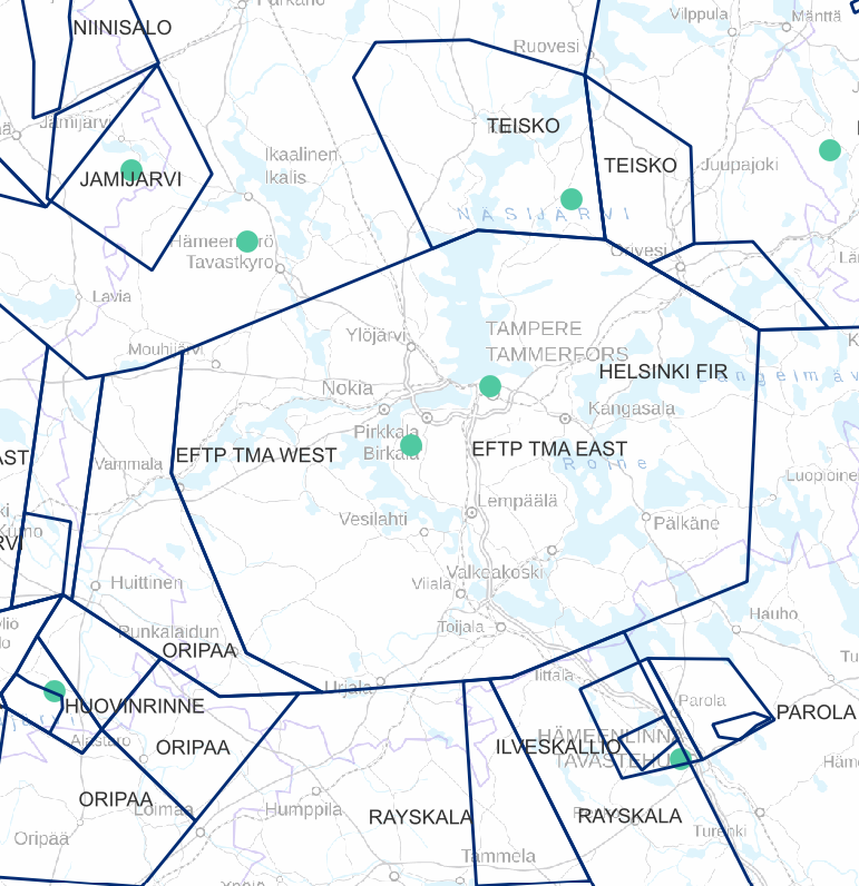
Transportation
Type of resources
Available actions
Topics
Keywords
Contact for the resource
Provided by
Years
Formats
Representation types
Update frequencies
Scale
-
The data includes traffic volumes in Finland from 2012 to 2022. Data contains traffic volumes of all traffic and truck traffic.
-
FTIA INSPIRE Transport Networks Theme Dataset is a dataset depicting the Transport Networks covering the whole of Finland. It contains the following INSPIRE feature types: Road network, Rail network, Waterway network and Air transport network. The dataset is available via the FTIA INSPIRE Download Service (WFS) for Transport Networks and it can be viewed via the FTIA INSPIRE View Service (WMS) for Transport Networks.
-

Road traffic accidents involving personal injury known to the police in Finland and reported to Statistics Finland, which have co-ordinate data. The data cover the following information: vvonn = year of the accident kkonn = month of the accident kello = time of the accident vakav = seriousness of the accident: 1 = accident resulting in death, 2 = accident resulting in injury, 3 = accident resulting in serious injury onntyyppi = type of accident: 0 = same direction of travel (going straight), 1 = same direction of travel (turning), 2 = opposite direction of travel (going straight), 3 = opposite direction of travel (turning), 4 = intersecting direction of travel (going straight), 5 = intersecting direction of travel (turning), 6 = pedestrian accident (on pedestrian crossing), 7 = pedestrian accident (elsewhere), 8 = running off the road, 9 = other accident lkmhapa = number of passenger cars and vans in the accident lkmlaka = number of buses and lorries in the accident lkmjk = number of pedestrians in the accident lkmpp = number of cyclists in the accident lkmmo = number of mopeds in the accident lkmmp = number of motor cycles in the accident lkmmuukulk = number of other vehicles in the accident x = x co-ordinate of the accident y = y co-ordinate of the accident The general Terms of Use must be observed when using the data: http://tilastokeskus.fi/org/lainsaadanto/copyright_en.html.
-
Air traffic network-product is a link-knot routing dataset compliant with INSPIRE requirements. It includes f.ex. flight routes and aerodromes. Data shall not be used for operational flight activities or flight planning. INSPIRE Air Traffic Network-product includes spatial information of air traffic network in accordance with the INSPIRE Directive. The data has been retrieved from the EAD database maintained by Eurocontrol. Information is updated regularly but is not constantly up to date. Data can be used for purposes that are in accordance with the INSPIRE Directive, but shall not be used for operational flight activities or flight planning. ANS Finland www.ais.fi –site provides information for operational flight activities or flight planning
-
-
Fyrsektorerna visar rätt körriktning åt fartyget och vägleder till ett säkert vattenområde. Innehåller fyrsektorer som är registrerade i Trafikledsverkets vattenregister.
-

The Background map is a dataset product series in raster format that depicts the whole of Finland and that is meant for web use as a background material for thematic data. Its key objects are road names, roads and railways, buildings and constructions, administrative borders, geographical names, waterways, land use and addresses of buildings (from the Digital and Population Data Services Agency). The product belongs to the open data of the National Land Survey of Finland.
-
Datan innehåller begränsningsområden för sjöfart. Begränsningarna för området är beskrivna i RAJOITUSTYYPIT-fältet. 01= Hastighetsbegränsning 02= Förbjudet att orsaka vågor 03= Förbud mot vindsurfning 04= Förbud mot vattenskoteråkning 05= Förbud mot framförande av fardon med hjälp av motor 06= Förbud mot ankring 07= Angöringsförbud 08= Förbud mot förtöjning 09= Omkörningsförbud 10= Mötesförbud 11= Rekommenderas hastighet
-
En farled är en enhetlig i terrängen eller på kartan bemärkt enhetlig färdplan på ett vattenområde. En farleds geometri består av navigationsområden och farledsområden. Sjöfartens säkerhetsanordningar, sjömärken, begränsningsområden och muddringsområden länkas ofta ihop till en eller flera farleder. Innehåller farleder registrerade i Trafikledsverkets vattenregister.
-
National Land Survey's Topographic map in vector format is a dataset depicting the terrain of all of Finland. The most important elements are the road network, administrative borders, preservation areas, population centres, geographic names, waterways, land use and elevation. The largest scale level (1:100,000) of the Topographic map in vector format is produced by generalising from the Topographic database. Topographic map 1:250,000 is produced by generalising the dataset 1:100,000. Topographic map 1:1,000,000 is produced by generalising the dataset 1:250,000. Topographic map 1:4,500,000 is produced by generalising the dataset 1:1,000,000. The geographic names have been generalised from the geographic names in the Geographic Names Register to map names suited to the scale in question. The administrative borders in the Municipal Division of each scale are used as administrative borders. The product belongs to the open data of the National Land Survey of Finland.