 Paikkatietohakemisto
Structure
Type of resources
Available actions
Topics
Keywords
Contact for the resource
Provided by
Formats
Representation types
Update frequencies
Scale
-
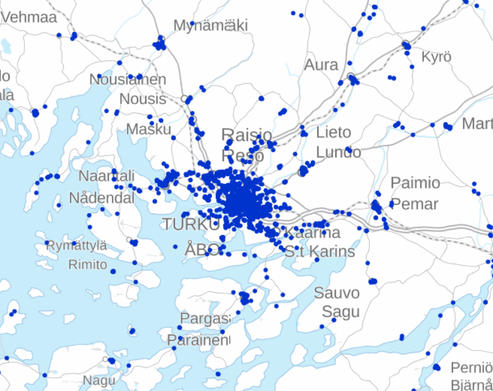
DVV INSPIRE Buildings Theme Dataset is a dataset depicting the Buildings covering the whole of Finland. It contains the following INSPIRE feature types: Buildings The elements are updated weekly. The dataset is based on "Väestötietojärjestelmän rakennus- ja huoneistotiedot" by the Digital and Population Data Services Agency (Digi- ja väestötietovirasto). Id-attribute indicates the permanent building number for buildings (VTJ-PRT). The dataset is available via the DVV INSPIRE Download Service (WFS) for Buildings Theme and it can be viewed via the DVV INSPIRE View Service (WMS) for Buildings.
-
NLS-FI INSPIRE Buildings Theme Dataset is a dataset depicting the Buildings covering the whole of Finland. It contains the following INSPIRE feature types: Building The elements are updated weekly. The dataset is based on the NLS Topographic database: http://www.paikkatietohakemisto.fi/geonetwork/srv/en/main.home?uuid=cfe54093-aa87-46e2-bfa2-a20def7b036f. Id-attribute indicates the topographic database id for features (mtk-id). The dataset is available via the NLS-FI INSPIRE Download Service (WFS) for Buildings Theme and it can be viewed via the NLS-FI INSPIRE View Service (WMS) for Buildings.
-
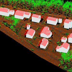
The 3D vectors for buildings are three-dimensional instances of the Building target category in the National Topographic Database (KMTK). The 3D vectors are produced with a high degree of automation from laser scanning data 5 p based on 2D vectors for buildings in KMTK. For the time being, data is available only from a few example areas, but the coverage will be extended to the whole of Finland as the laser scanning programme proceeds. The product belongs to the open data of the National Land Survey of Finland.
-

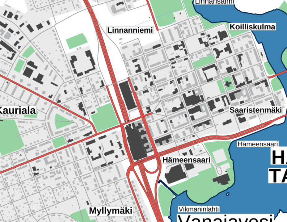
The Background map is a dataset product series in raster format that depicts the whole of Finland and that is meant for web use as a background material for thematic data. Its key objects are road names, roads and railways, buildings and constructions, administrative borders, geographical names, waterways, land use and addresses of buildings (from the Digital and Population Data Services Agency). The product belongs to the open data of the National Land Survey of Finland.
-
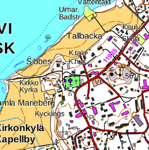
The Plain map series is a simple, plain and readable dataset product series in raster format that depicts the whole of Finland. The product is meant to be used as a background map whose character changes to a guide map in large scales. Impaired vision has been taken into account when designing the product. The key objects presented on the map are roads and railways, road names, buildings and constructions, administrative borders, waterways and other geographical names. The road network, public buildings and texts have been especially emphasised. The most usual limitations of colour vision have been taken into account in the use of colours. The product belongs to the open data of the National Land Survey of Finland.
-
The Topographic map is a dataset depicting the terrain of all of Finland. The key elements in it are the road network, buildings and constructions, geographic names, waterways, land use and elevation. The more precise levels of the Topographic map consist of the same map objects and map symbols depicted in the same way as in the familiar Basic map. Basic map raster is applicable to be used, for instance, as a base map for planning land use or for excursion and outdoor recreational purposes in mobile devices and in various Internet services associated with nature. When going over to the more general datasets in the Topographic map, the number and visualisation of objects and map symbols changes. The generalised small-scale Topographic maps raster are applicable to be used as approach maps in e.g. mobile devices and Internet services. The product belongs to the open data of the National Land Survey of Finland.
-
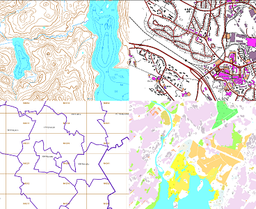
The themes of the Topographic database and Topographic map raster series (scale 1:10,000) have been compiled into seven theme entities, theme rasters, required by the Inspire directive: hydrography, elevation, traffic network, land use, land cover, place names and buildings. In addition to the above, the theme rasters also include the municipal division, road names and map sheet division as separate themes. The theme rasters have not been implemented according to the imaging technology defined in the Inspire directive. They will be produced later. The product belongs to the open data of the National Land Survey of Finland.
-
-
-

The Topographic database is a dataset depicting the terrain of all of Finland. The key objects in the Topographic database are the road network, buildings and constructions, administrative borders, geographic names, land use, waterways and elevation. Aerial photographs, scanning data and data provided by other data providers are utilised in updating the Topographic database. The updating is done in close cooperation with the municipalities. Field checks in the terrain are also needed to some extent, mostly as regards the classification of features. The topographic database is used in the production of other map products and in various optimisation tasks. The product belongs to the open data of the National Land Survey of Finland.