Paikkatietohakemisto
Boundaries
Type of resources
Topics
Keywords
Contact for the resource
Provided by
Formats
Representation types
Update frequencies
Scale
-

Division into administrative areas (raster) is a dataset depicting the municipal Division of Finland. The dataset Municipal Division is produced in scales 1:10,000, 1:100,000, 1:250,000, 1:1,000,000 and 1:4,500,000. The data included in the dataset in scale 1:10,000 are taken from the Cadastre. Regarding other scales, municipal boundaries have been generalised to suit the scale in question. Division into administrative areas products in raster format include municipal boundaries only. The product is a part of the open data of the National Land Survey.
-

Division into administrative areas (vector) is a dataset depicting the municipalities, regions, Regional State Administrative Agencies, and the national border of Finland. The Division into administrative areas products in vector format contain the number codes of the municipalities, the names of the municipalities in both Finnish and Swedish as well as municipal boundaries and municipal geographical areas. In addition, the products include the corresponding information about the regions, the Regional State Administrative Agencies, and the nation as well as a specification of the municipality's area into land and water area. The municipality's area is not included in the XML/GML and GeoPackage format. The dataset Municipal Division is produced in scales 1:10,000, 1:100,000, 1:250,000, 1:1,000,000 and 1:4,500,000. The data included in the dataset in scale 1:10,000 are taken from the Cadastre. Regarding other scales, municipal boundaries have been generalised to suit the scale in question. The product is a part of the open data of the National Land Survey.
-
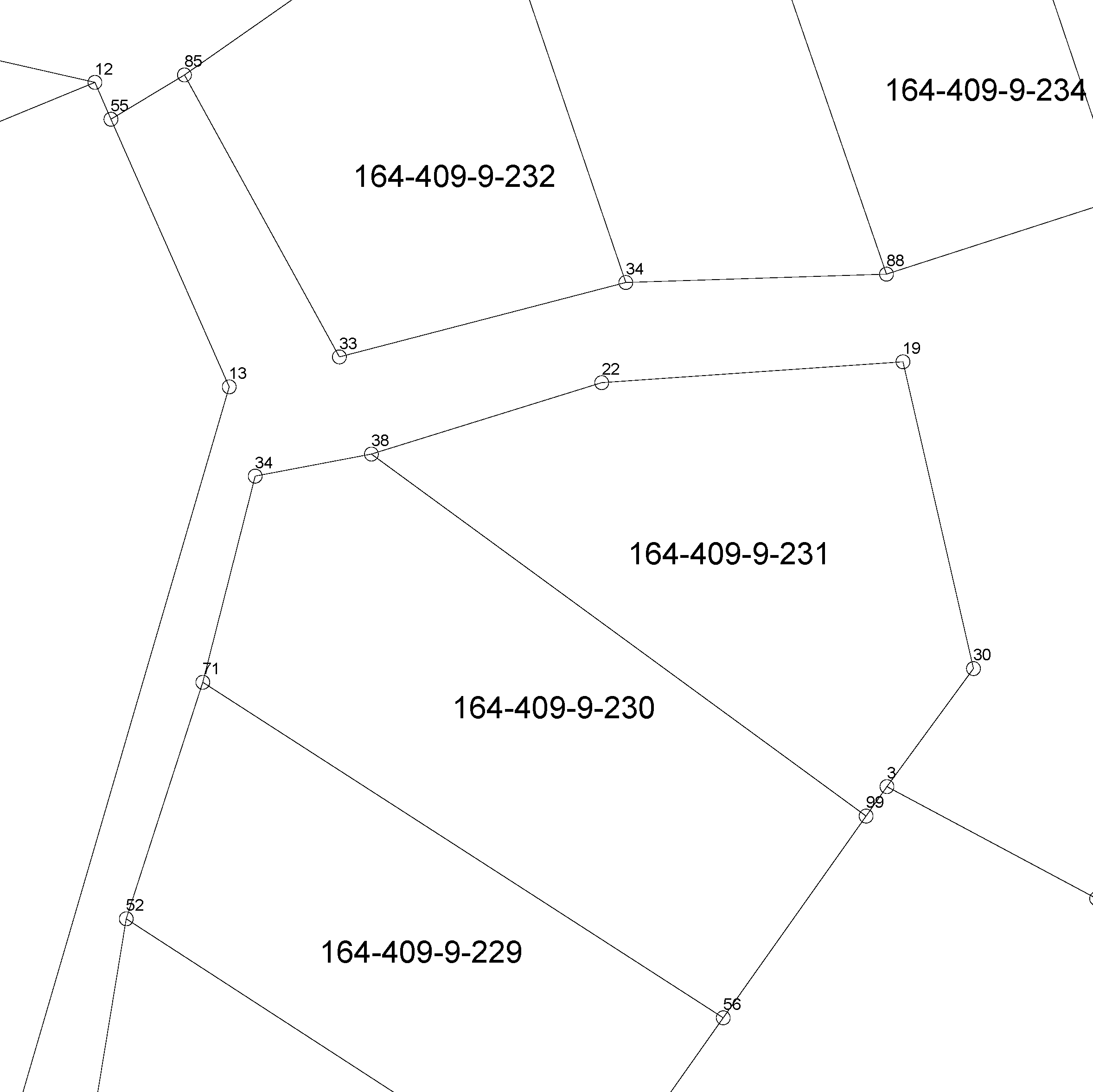
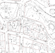
The location of the real property unit is shown on the cadastral index map. On the map, there are property and other register unit boundaries and property identifiers. The product is a part of the open data of the National Land Survey. Further information (in Finnish): http://www.maanmittauslaitos.fi/kiinteistot/asiantuntevalle-kayttajalle/kiinteistotiedot-ja-niiden-hankinta
-
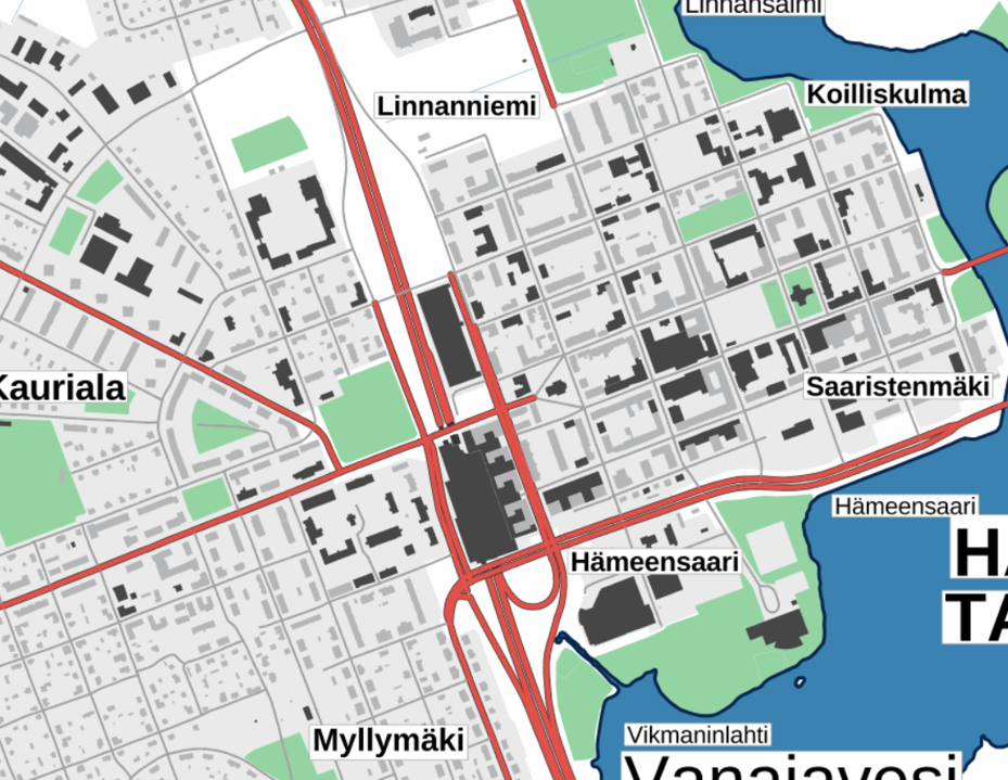
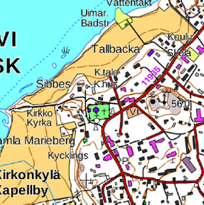
The Plain map series is a simple, plain and readable dataset product series in raster format that depicts the whole of Finland. The product is meant to be used as a background map whose character changes to a guide map in large scales. Impaired vision has been taken into account when designing the product. The key objects presented on the map are roads and railways, road names, buildings and constructions, administrative borders, waterways and other geographical names. The road network, public buildings and texts have been especially emphasised. The most usual limitations of colour vision have been taken into account in the use of colours. The product belongs to the open data of the National Land Survey of Finland.
-

The location of the real property unit is shown on the cadastral index map. On the map, there are property and other register unit boundaries, boundary markers and property identifiers. The product is a part of the open data of the National Land Survey. Other attribute data related to properties are available in the Cadastre. Further information (in Finnish): http://www.maanmittauslaitos.fi/kiinteistot/asiantuntevalle-kayttajalle/kiinteistotiedot-ja-niiden-hankinta
-

The Background map is a dataset product series in raster format that depicts the whole of Finland and that is meant for web use as a background material for thematic data. Its key objects are road names, roads and railways, buildings and constructions, administrative borders, geographical names, waterways, land use and addresses of buildings (from the Digital and Population Data Services Agency). The product belongs to the open data of the National Land Survey of Finland.
-
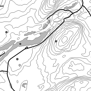
National Land Survey's Topographic map in vector format is a dataset depicting the terrain of all of Finland. The most important elements are the road network, administrative borders, preservation areas, population centres, geographic names, waterways, land use and elevation. The largest scale level (1:100,000) of the Topographic map in vector format is produced by generalising from the Topographic database. Topographic map 1:250,000 is produced by generalising the dataset 1:100,000. Topographic map 1:1,000,000 is produced by generalising the dataset 1:250,000. Topographic map 1:4,500,000 is produced by generalising the dataset 1:1,000,000. The geographic names have been generalised from the geographic names in the Geographic Names Register to map names suited to the scale in question. The administrative borders in the Municipal Division of each scale are used as administrative borders. The product belongs to the open data of the National Land Survey of Finland.
-
The Topographic map is a dataset depicting the terrain of all of Finland. The key elements in it are the road network, buildings and constructions, geographic names, waterways, land use and elevation. The more precise levels of the Topographic map consist of the same map objects and map symbols depicted in the same way as in the familiar Basic map. Basic map raster is applicable to be used, for instance, as a base map for planning land use or for excursion and outdoor recreational purposes in mobile devices and in various Internet services associated with nature. When going over to the more general datasets in the Topographic map, the number and visualisation of objects and map symbols changes. The generalised small-scale Topographic maps raster are applicable to be used as approach maps in e.g. mobile devices and Internet services. The product belongs to the open data of the National Land Survey of Finland.
-
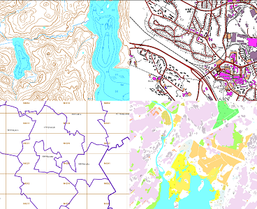
The themes of the Topographic database and Topographic map raster series (scale 1:10,000) have been compiled into seven theme entities, theme rasters, required by the Inspire directive: hydrography, elevation, traffic network, land use, land cover, place names and buildings. In addition to the above, the theme rasters also include the municipal division, road names and map sheet division as separate themes. The theme rasters have not been implemented according to the imaging technology defined in the Inspire directive. They will be produced later. The product belongs to the open data of the National Land Survey of Finland.
-