2000
Type of resources
Topics
Provided by
Years
Formats
Representation types
Update frequencies
Scale
-
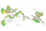
Aineisto sisältää Savitaipaleen kunnan alueella voimassaolevien ranta-asemakaavojen aluerajaukset. Kaavapiirrokset sekä muut liitteet alueittain liitetiedostoina pdf-muodossa. Aineiston päivitys ja ylläpito on jatkuvaa.
-
Aineisto sisältää Taipalsaaren kunnan alueella voimassaolevien ranta-asemakaavojen aluerajaukset. Kaavapiirrokset sekä muut liitteet alueittain liitetiedostoina pdf-muodossa. Aineiston päivitys ja ylläpito on jatkuvaa.
-

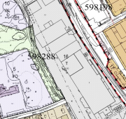
Pietarsaaren kaupungin ajantasa-asemakaava on koostekartta hyväksytyistä ja lainvoiman saaneista asemakaavoista. Aineisto on tuotettu lainvoimaisten asemakaavojen pohjalta ja sitä ylläpidetään rasterimuodossa. Päivitys ja ylläpito jatkuvaa.
-

Sotkamon ajantasa-asemakaava on koostekartta hyväksytyistä ja lainvoiman saaneista asemakaavoista. Aineisto on tuotettu lainvoimaisten asemakaavojen pohjalta ja sitä ylläpidetään kaavan osalta vektori- ja kartan osalta rasterimuodossa. Päivitys tehdään kaavamuutosten ja uusien kaavojen saavutettua lainvoiman. Aineisto kattaa kunnan asemakaavoitetun alueen. Koordinaattijärjestelmä KKJ3. Korkeusjärjestelmä N60.
-

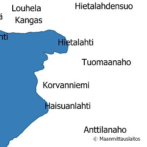
National Land Survey's geographic names are available as interfaces and files. Interfaces and file products comprise of place name products and map name products. The place name products include data about approximately 800,000 named places and their names in different languages. Data about place are among others place type, plane location and height above sea level, and data about names are among others the spelling that has been checked by the Institute for the Languages of Finland and language (Finnish, Swedish, Northern Sami, Inari Sami or Skolt Sami. In the place name products, every place and its name or names appear only once. The map name products contain the place names that have been selected for the National Land Survey's nine standard map products and information about the cartographical presentation of them. The information includes the location of the name on the map, for instance the coordinates of the left lower corner of the map text, the direction and bending of the text as well as typographical information, such as font type, size and colour. The name of a particular place, such as a river, can appear several times in the same map product. The product is a part of the open data of the National Land Survey.
 Paikkatietohakemisto